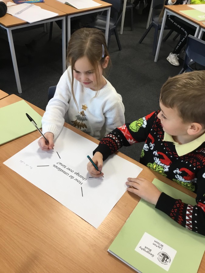
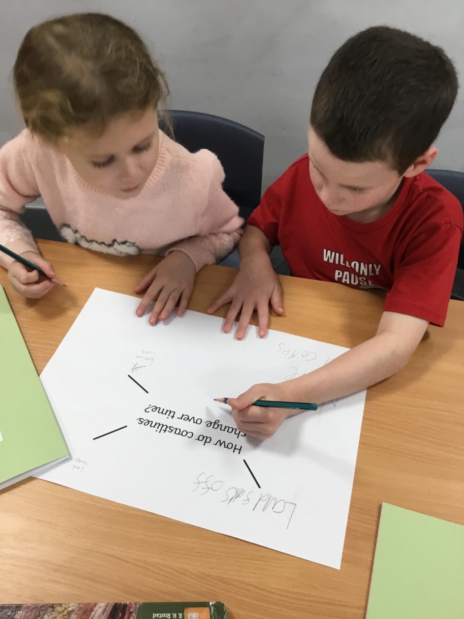
In Geography, we have been learning about coastlines and water erosion. The children have learned about the features of a coast and have enjoyed looking at aerial images on Google Earth to identify these features. We explored coastlines in the United Kingdom, in particular coasts close to us and compared this to coasts in Egypt. We discussed their similarities and differences, understanding that some coastlines are flat and some coastlines have cliffs. While looking at time-lapse videos, we were able to make observations on how coastlines change over time, through human intervention and natural causes. Some children noticed that the coastline seemed to ‘disappear’, which led us to investigate water erosion. The children were familiar with this concept from our learning about sedimentary rocks in Science and understood ways erosion could be dangerous, for instance, the road near Souter Lighthouse that is being moved inland due to the coastal erosion of the cliffs.
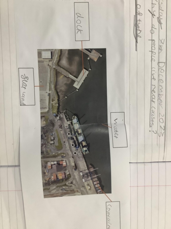
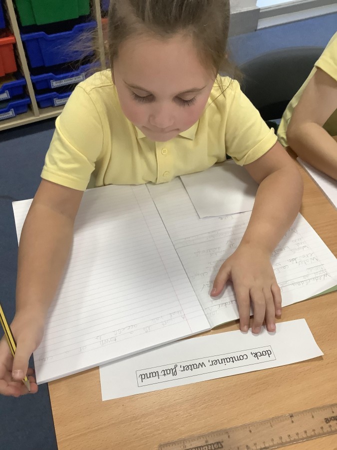
We then looked at why people choose to live by the coast, linking in our learning of why people lived by the River Nile. The children discussed how the Ancient Egyptian people used the river for transporting goods and trading and we used this idea to look into ports. We found ports that are in our local area and ports that are in Egypt. We identified that ports have certain features and the children were able to label these on a diagram. The children have been able to generate ideas about what items may be imported and exported from a port.
Our learning in Geography has sparked a lot of interest for the children to learn more about physical and human geography.
Article 28: We all have the right to a good quality education.