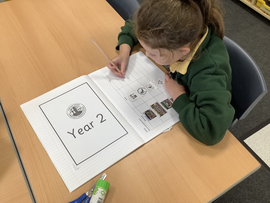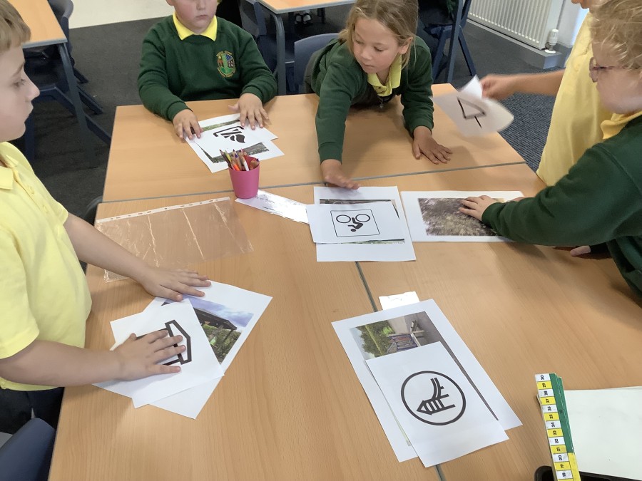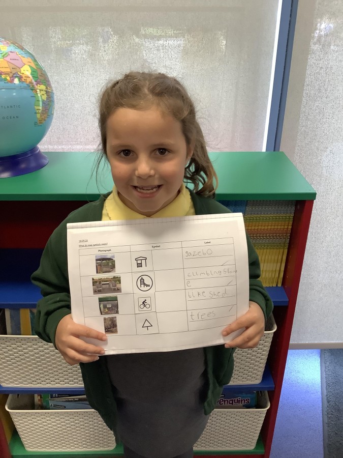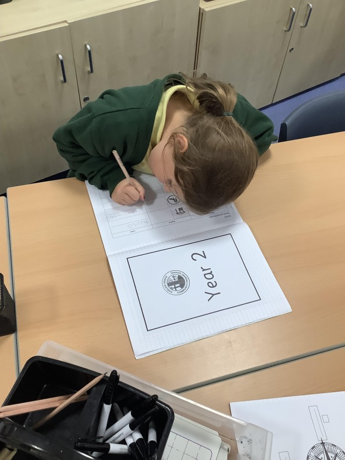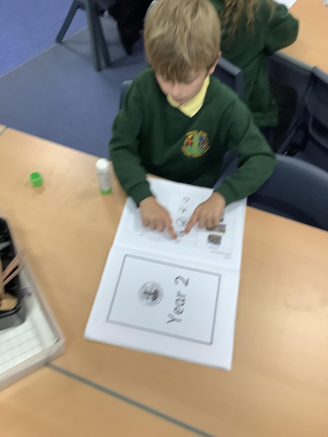
Year Two have been learning about maps and their symbols in their Geography lessons this week.
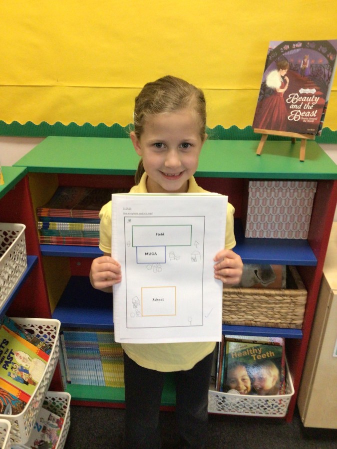
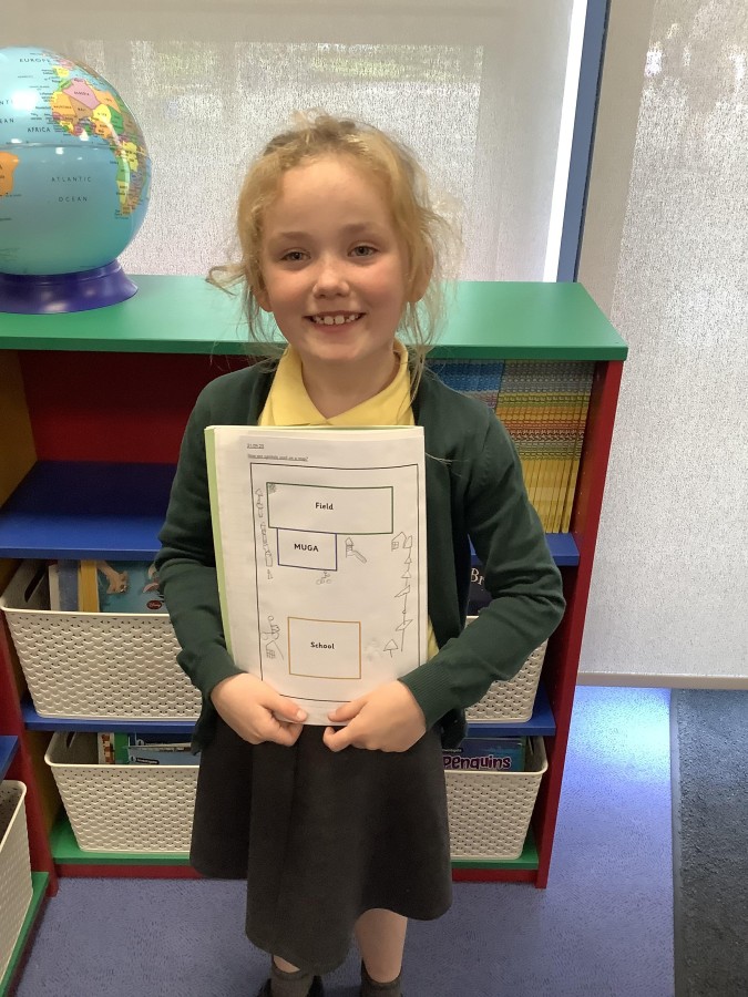
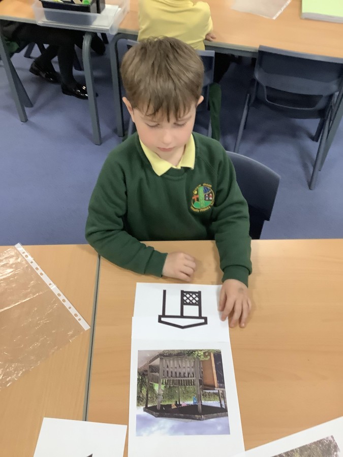
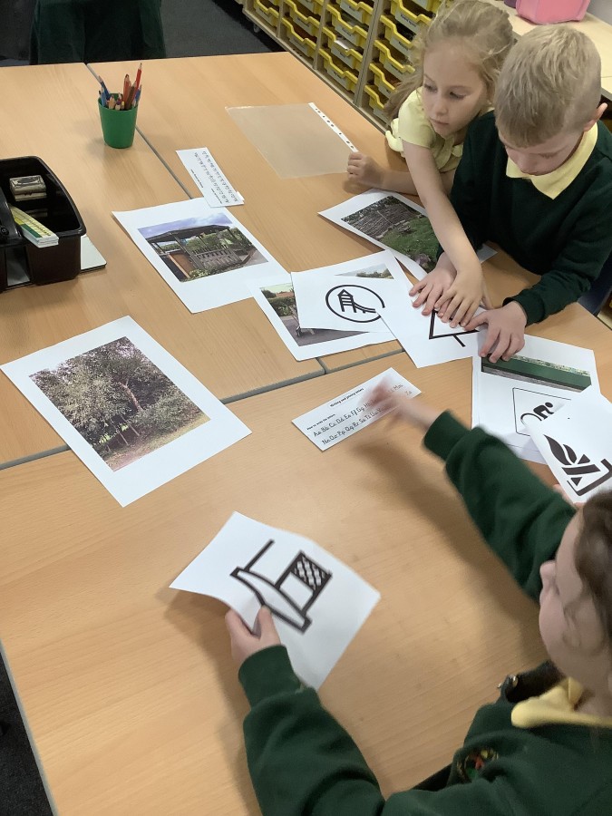
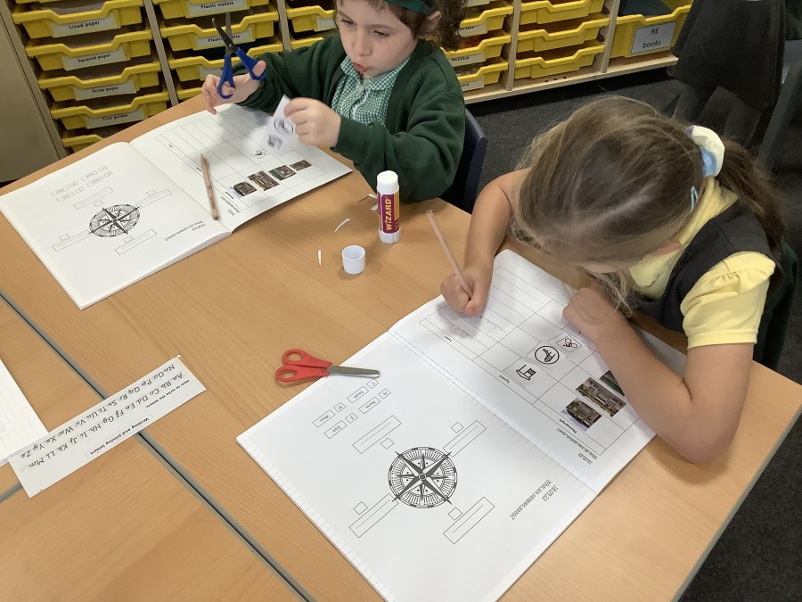
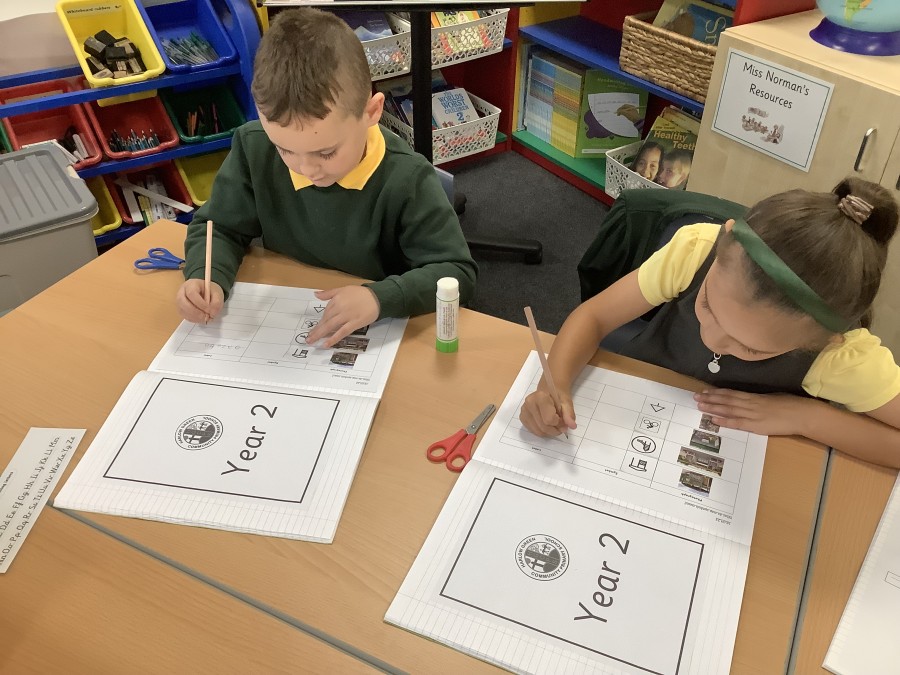
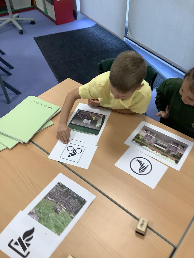
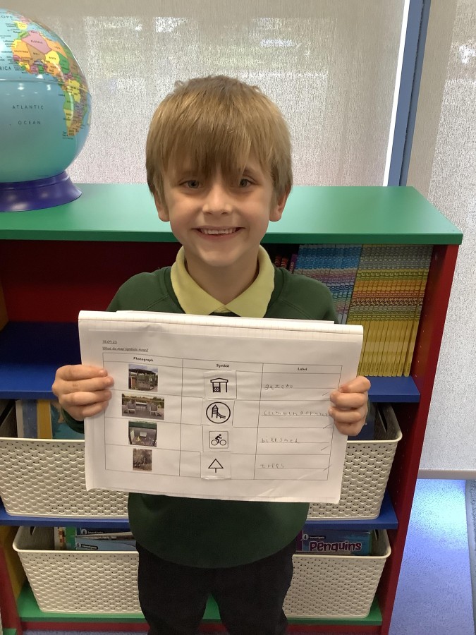
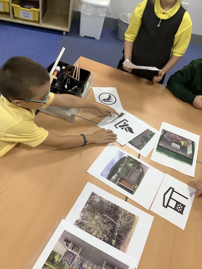
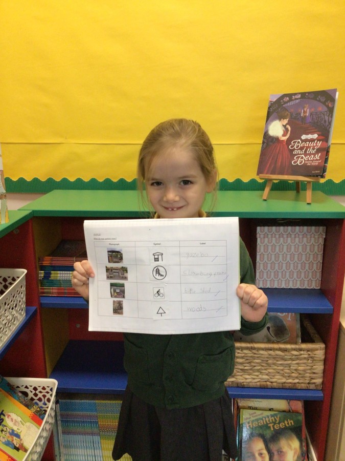
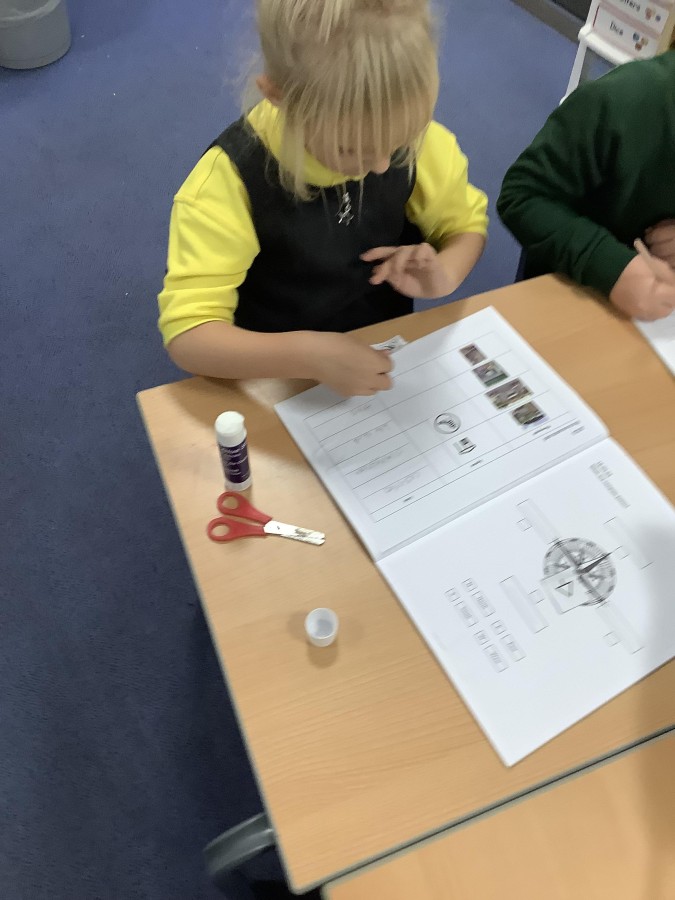
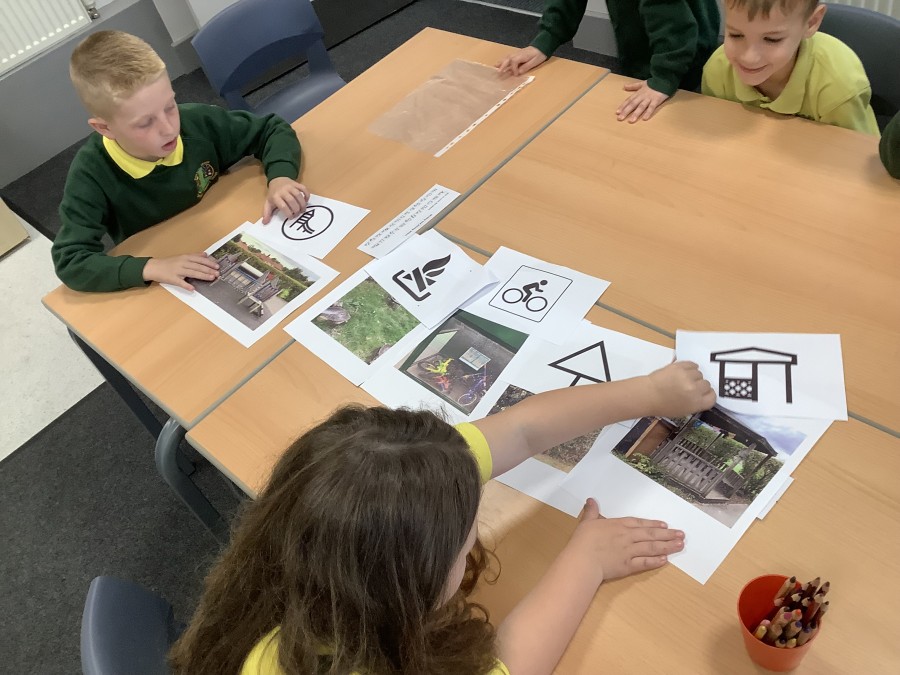
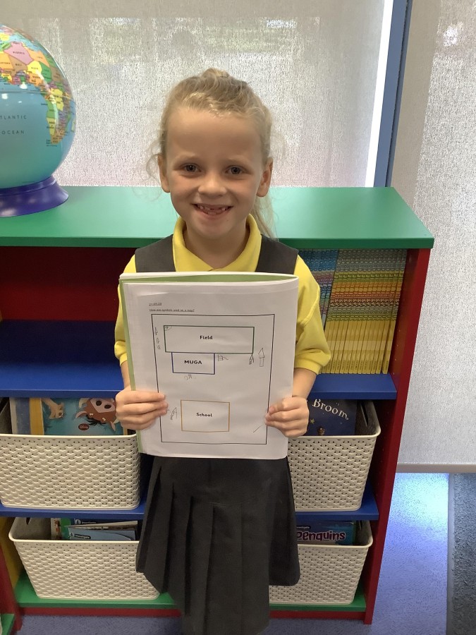
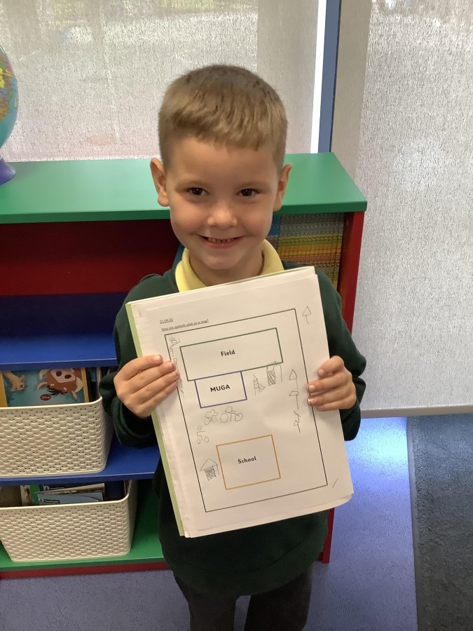
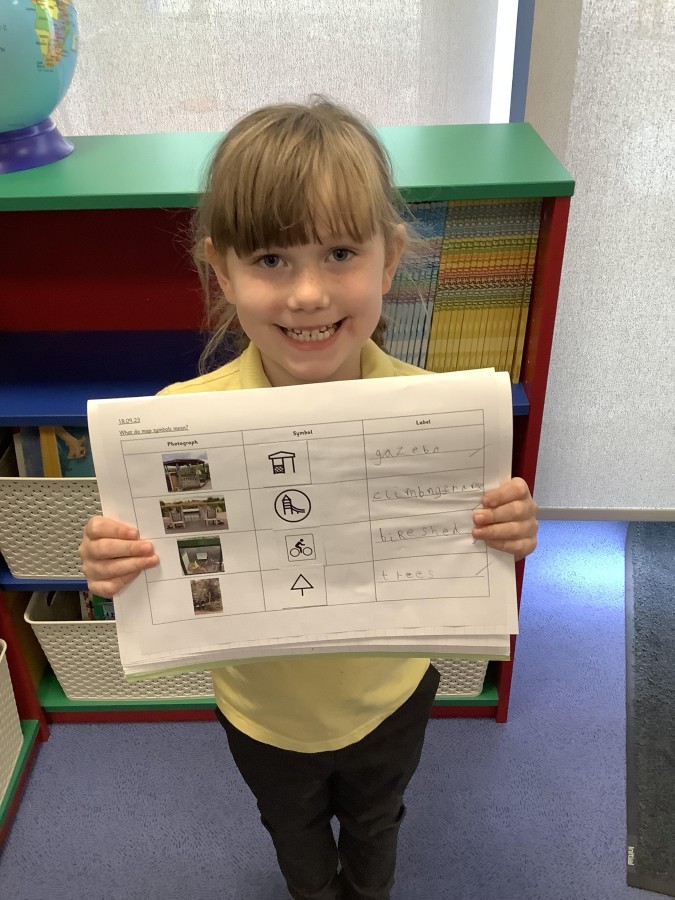
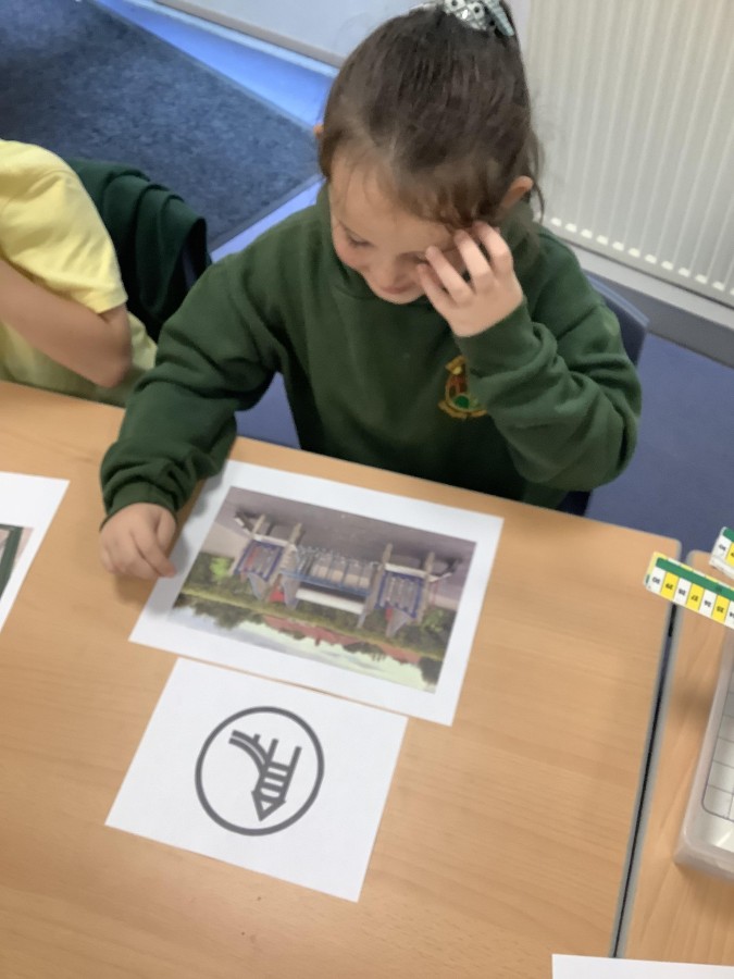
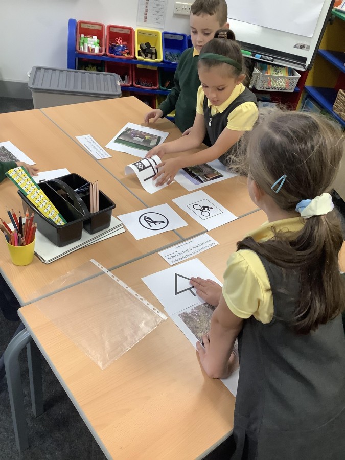
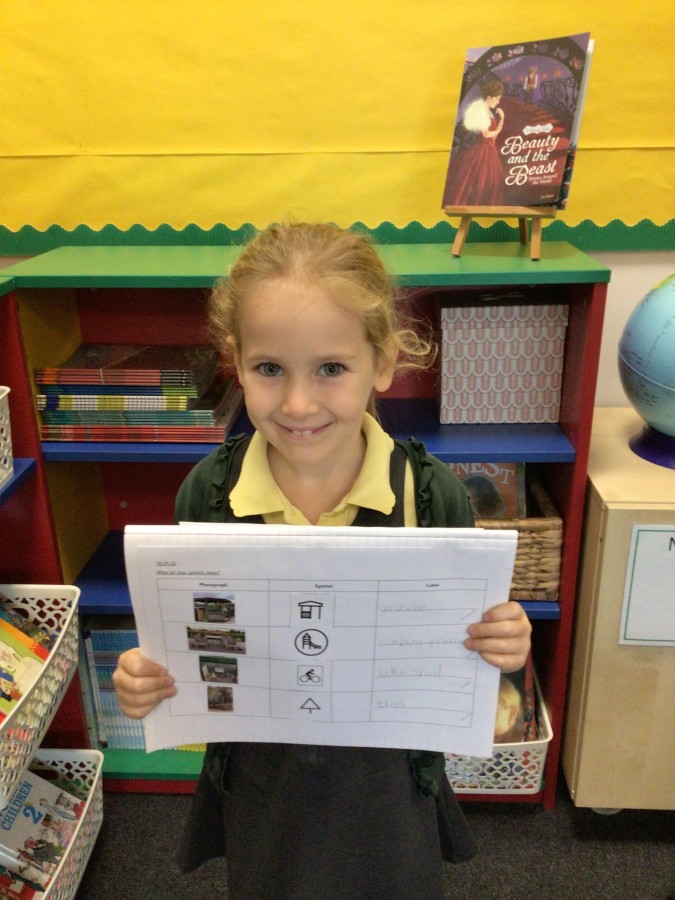
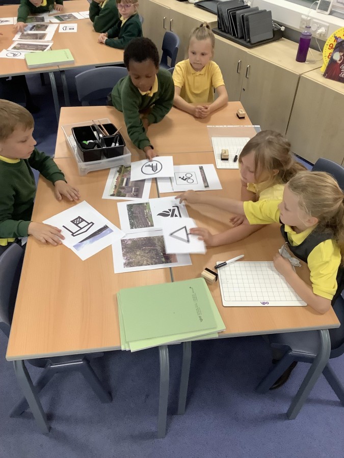
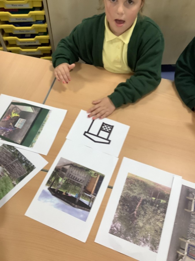
First they found out that maps have symbols to make it easier to fit on all the information they need. The children found out that map symbols often look similar to the object they represent. They then used this information to work in groups to try to match some of the features around school with their map symbols.
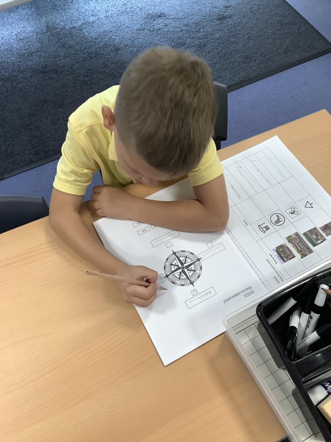
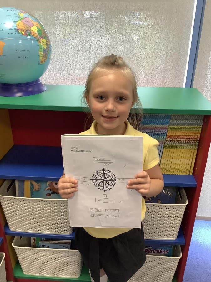
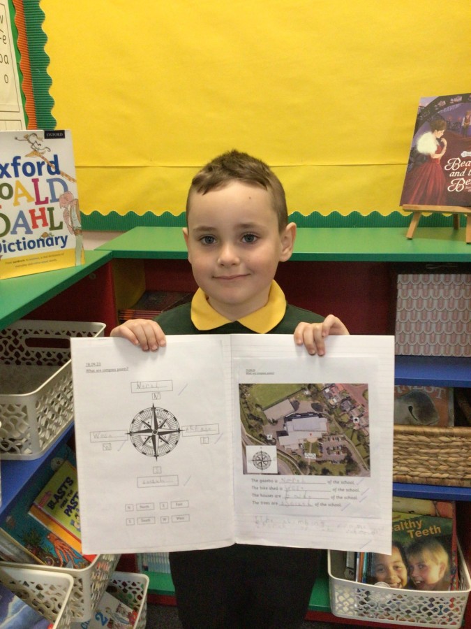
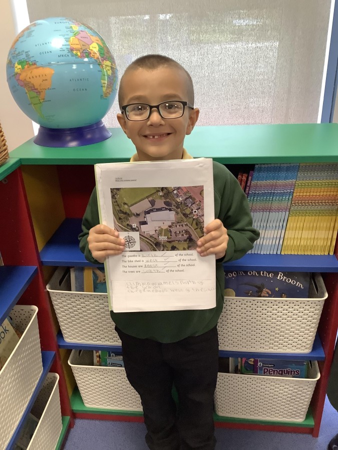
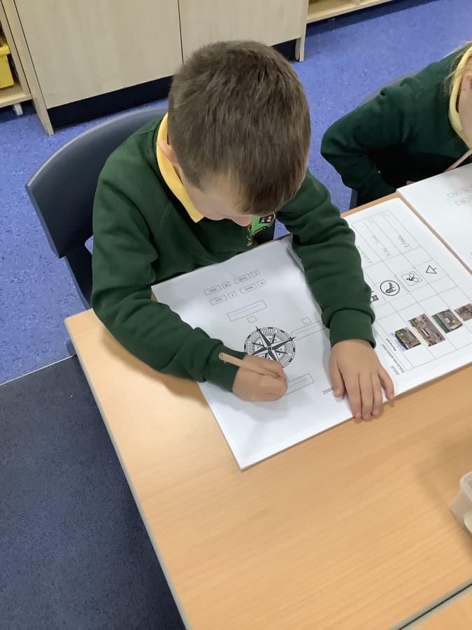
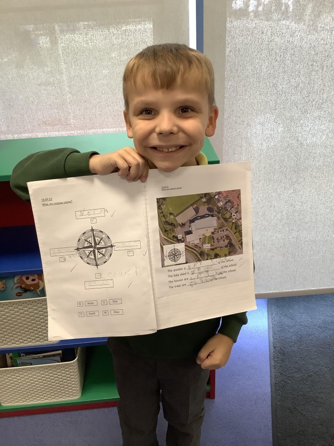
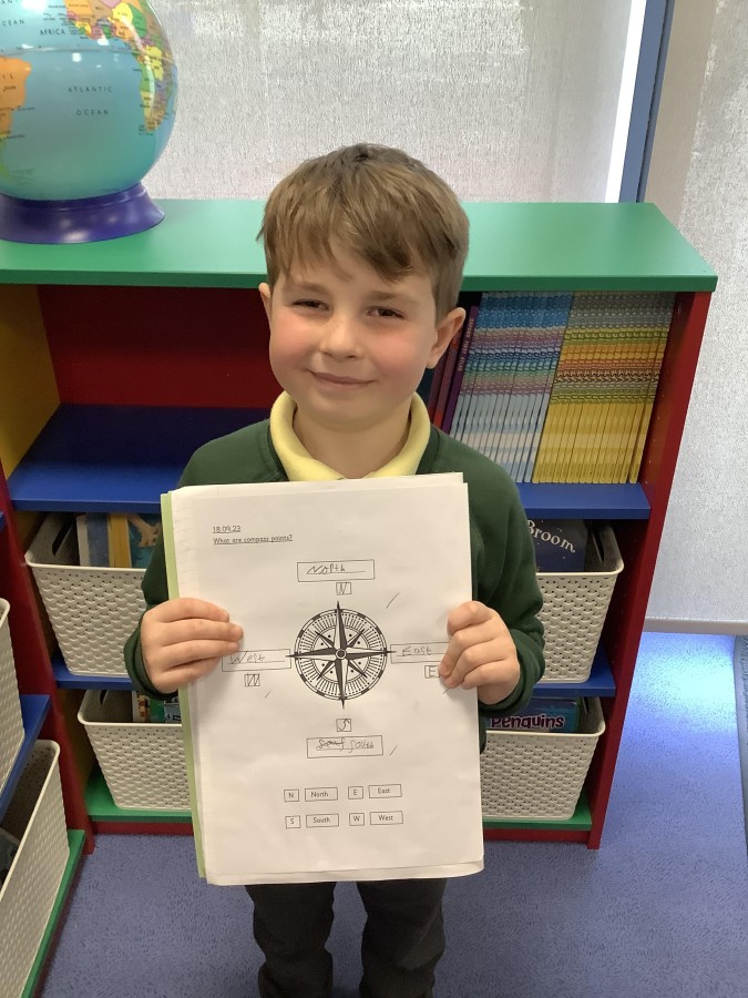
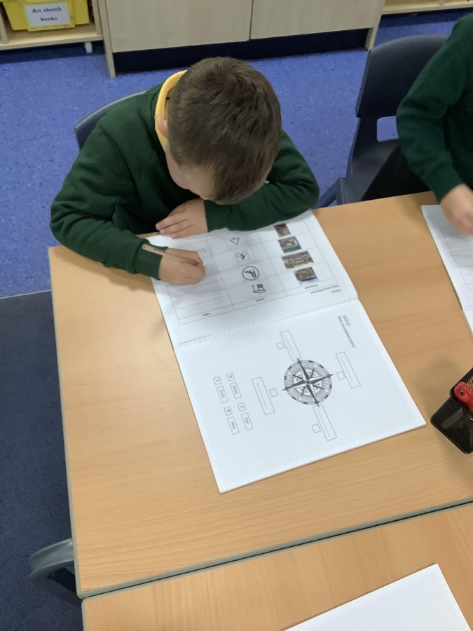
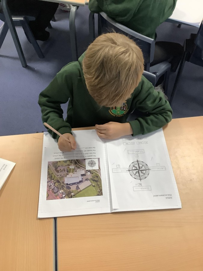
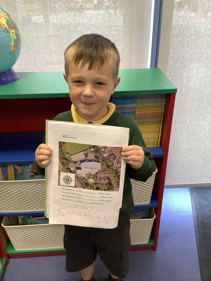
After that, the children found out about a compass. They learned that the needle on a compass always points north and that a compass can therefore be used to help us find our way around. They learned the four main compass points, as well as some rhymes that can help us to remember which order the compass points come in. Next the children used the compass points to help give directions and to describe where different landmarks on the school grounds and the surrounding area are compared to the school building.
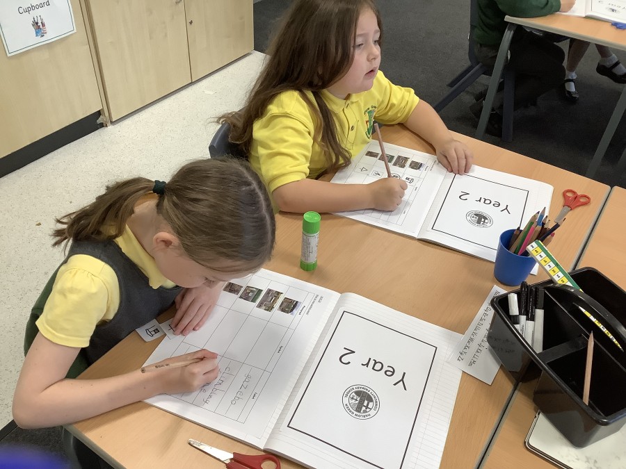
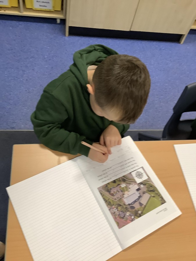
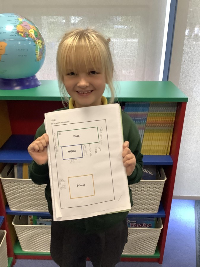
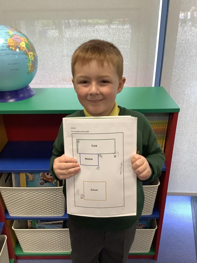
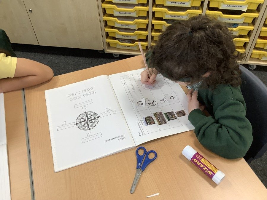
Finally, the children created their own map of the school grounds, using the symbols they have learned. They explored the school grounds and used aerial views to help them to identify where the different features were located and draw them on their maps.
Next week the children are looking forward to finding out more about human and physical features in our local area.