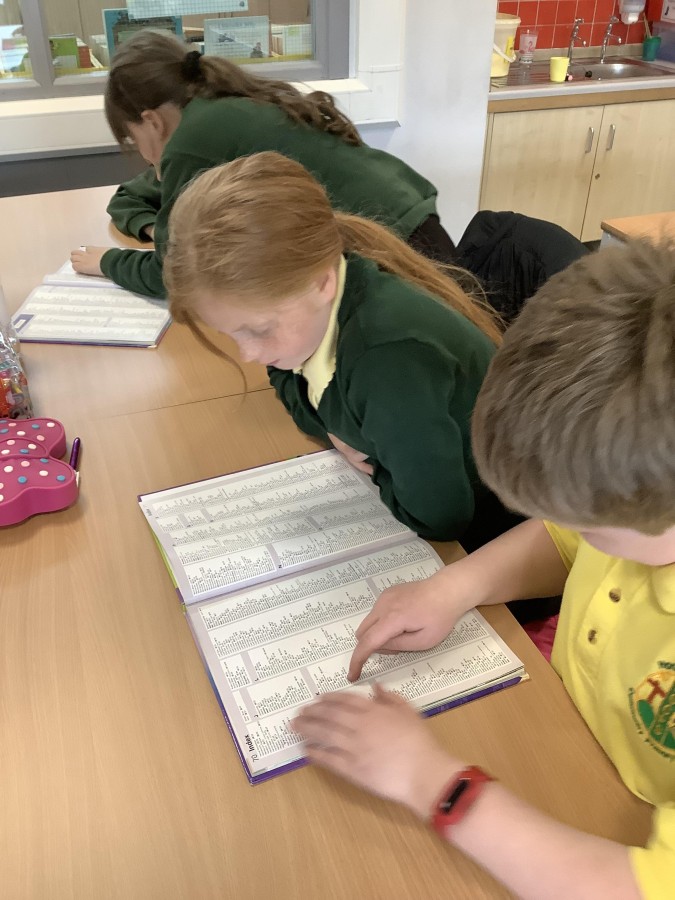
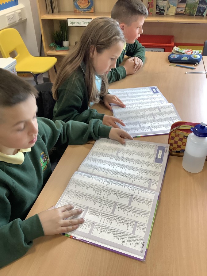
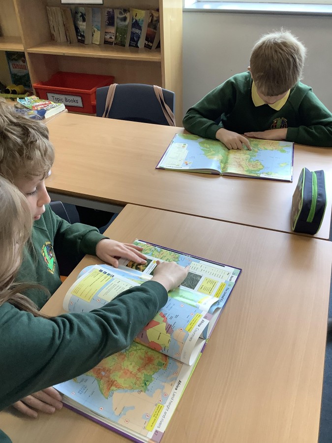
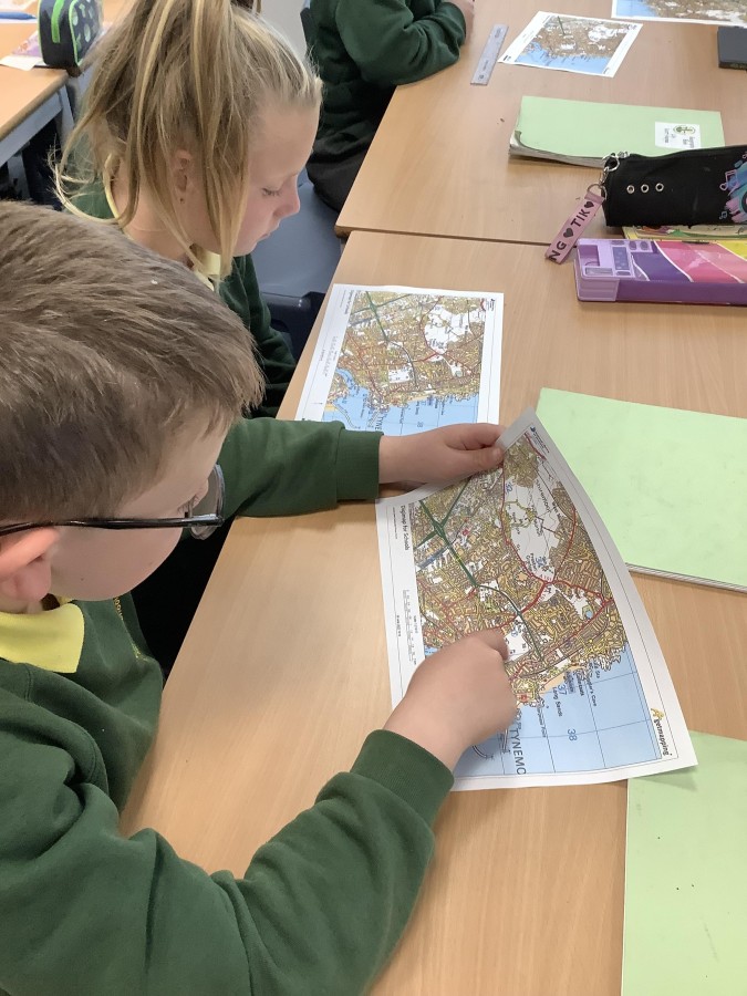
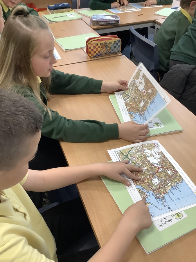
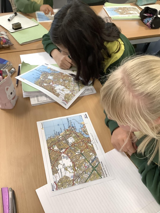
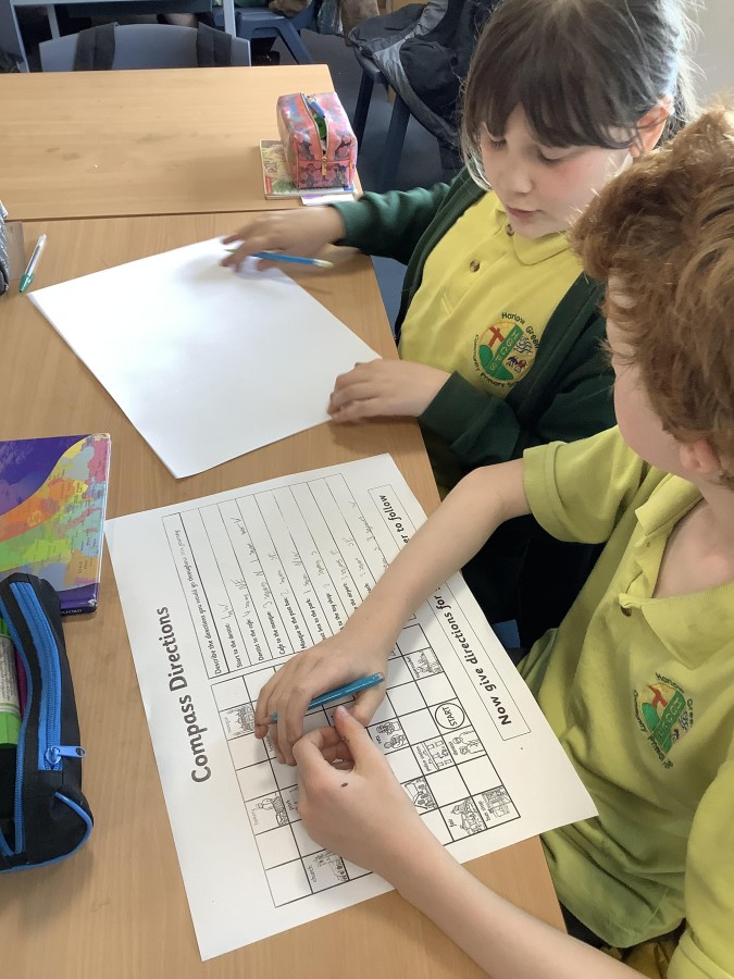
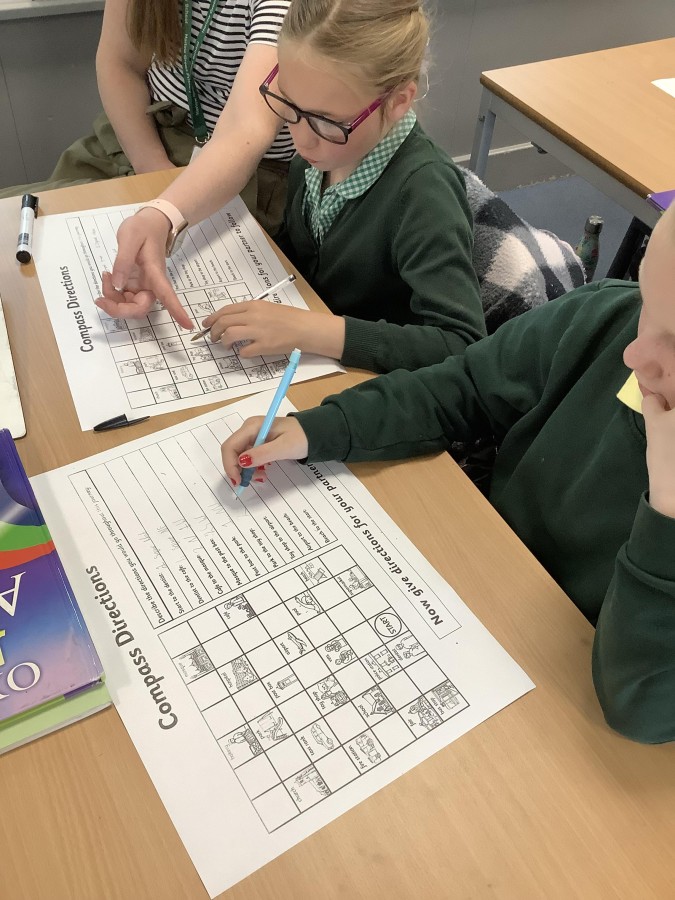
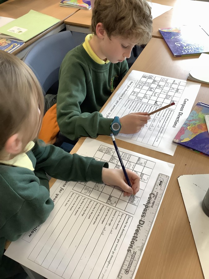
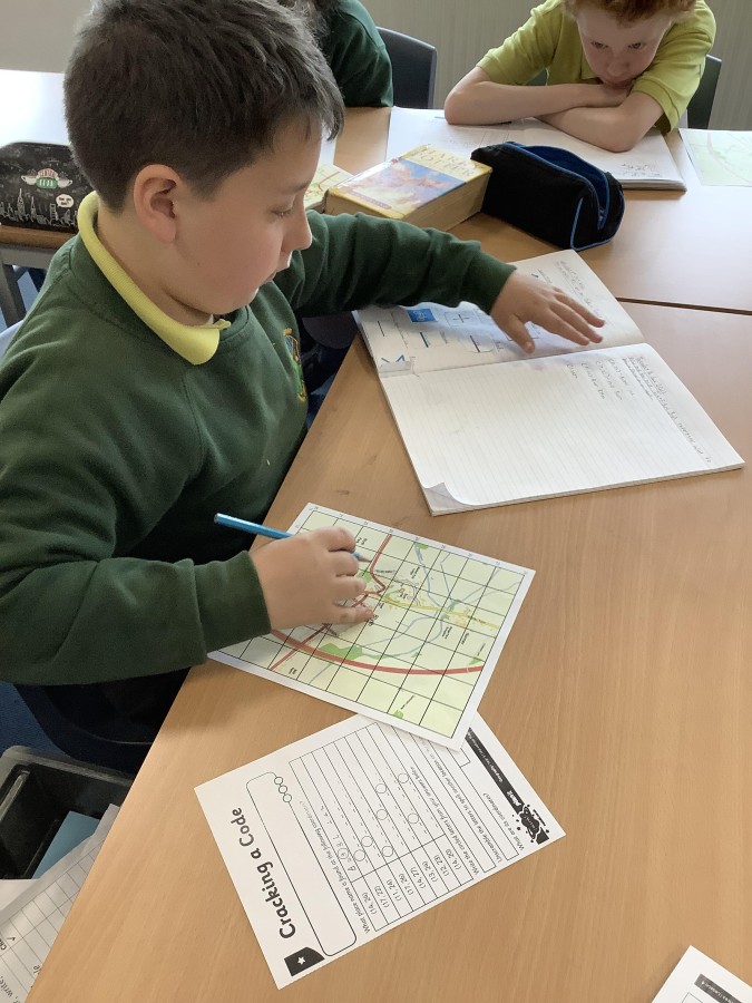
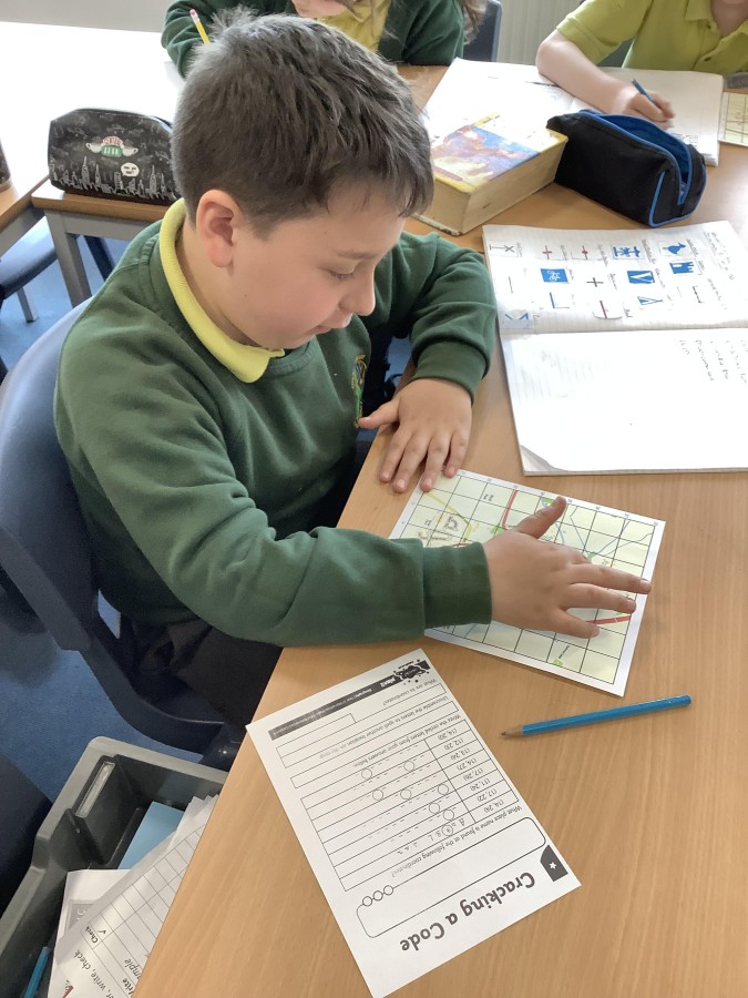
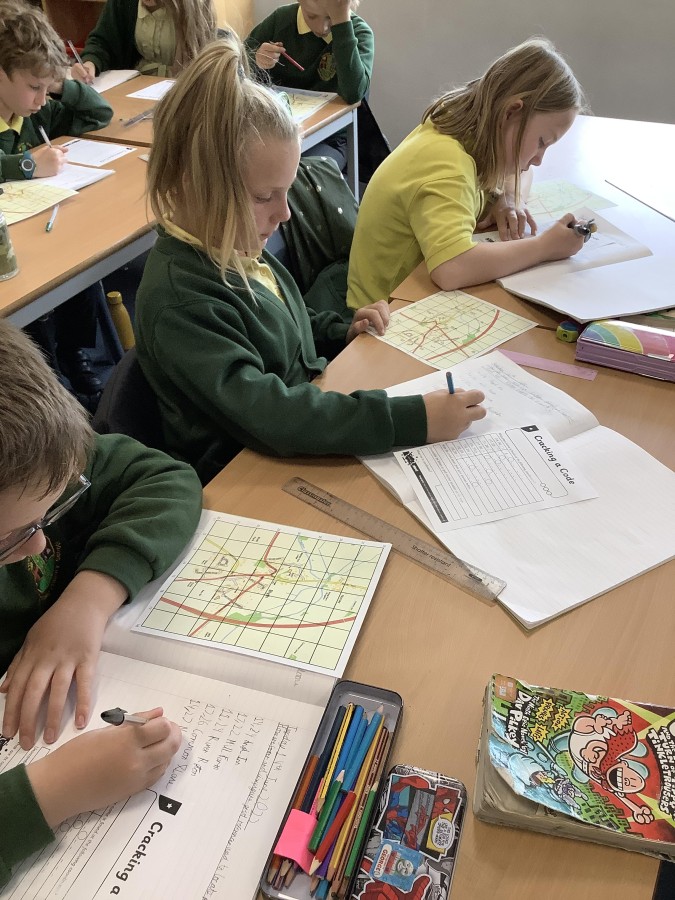
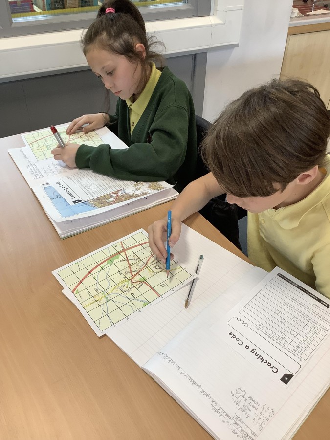
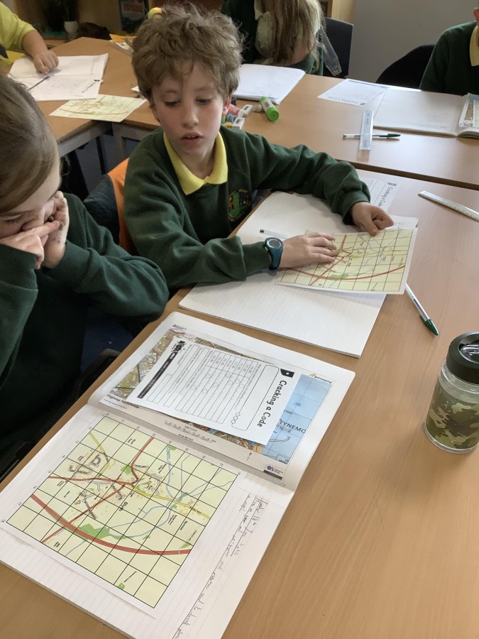
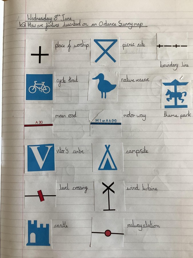
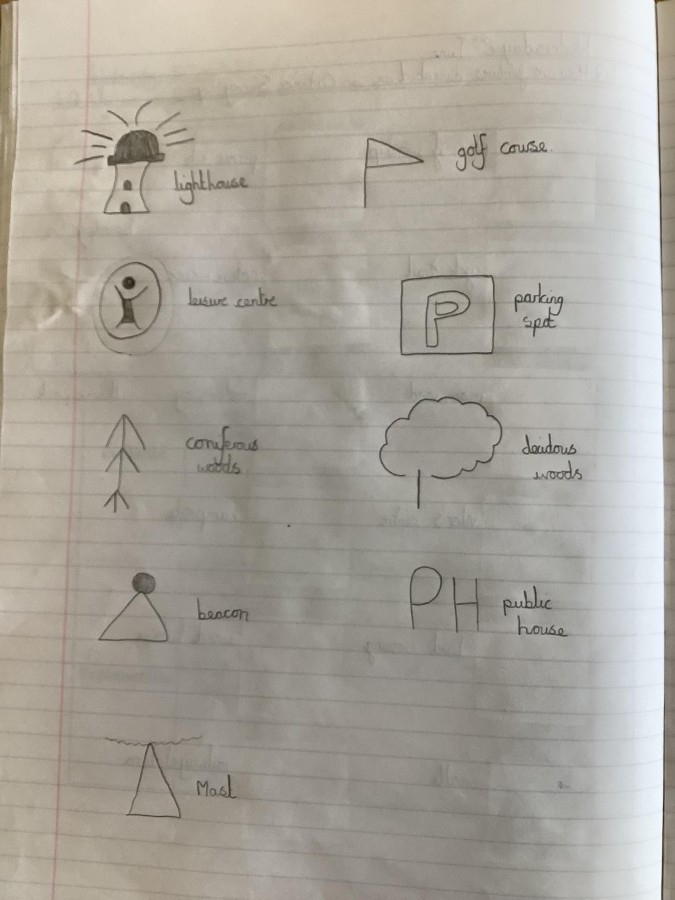
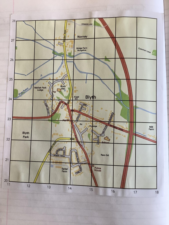
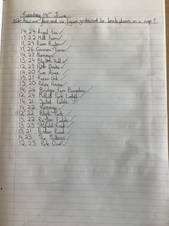
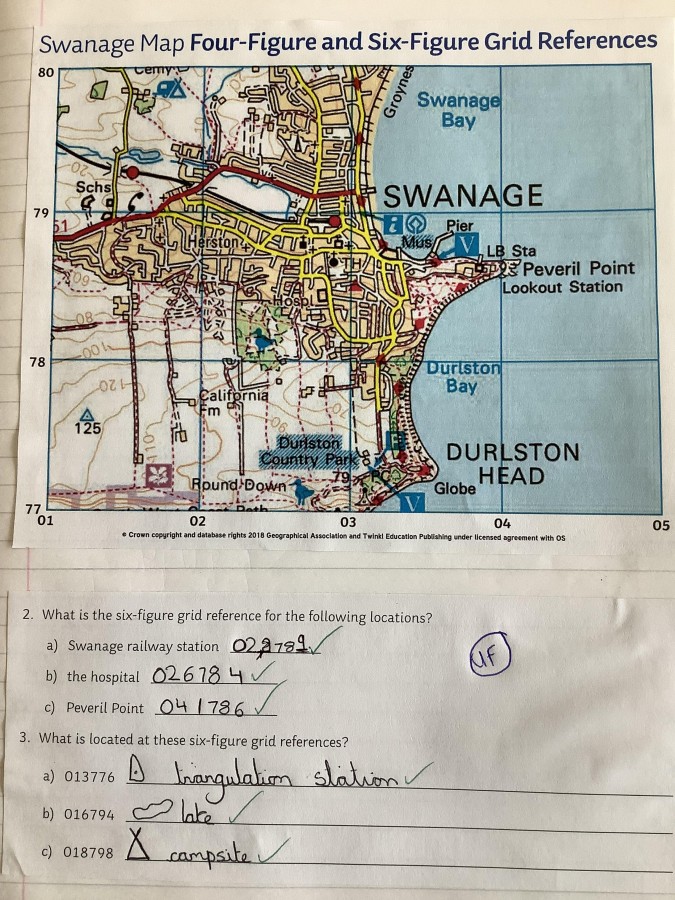
In our final Geography topic of the year, year 5 have been developing their map skills. The children began by consolidating what they knew about using atlases to find locations. They practiced reading the index and using the page number then simple grid coordinates to find a location. They also learnt how to pinpoint a location more accurately by reading the lines of latitude and longitude closest to that location. In order to identify features within a location, the children then studied the symbols used on ordinance survey maps and identified their meaning. Again, the children built on previous knowledge by using the eight compass points to give directions between different locations on a map. Finally, using their knowledge of map grids, symbols and directions, the children learnt how to read and write the four- and six-figure grid refences for locations on ordinance survey maps. This enabled them to identify the position of a location with the greatest accuracy possible. Hopefully year 5 will now never get lost, as long as they have a map in their hands!