Over the last two weeks, the Year 6 children have been developing their geographical skills.
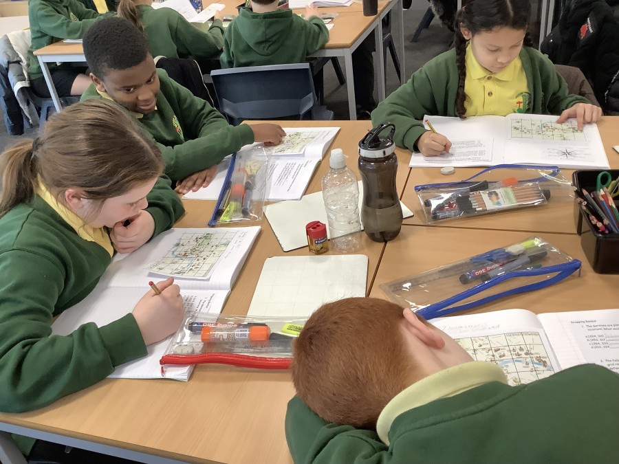
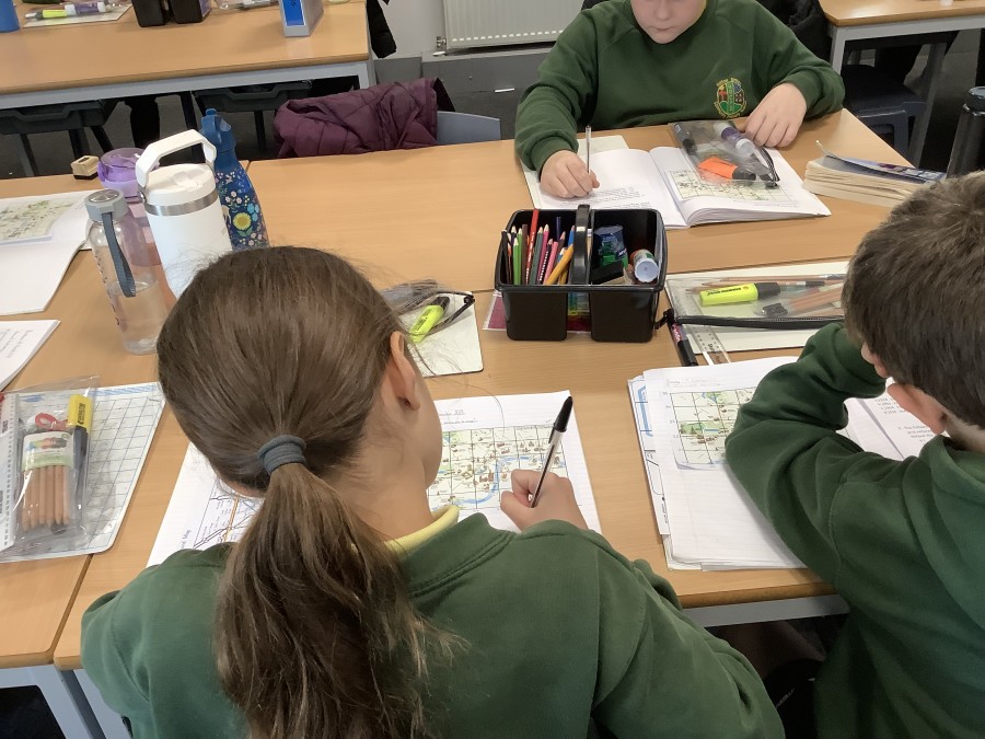
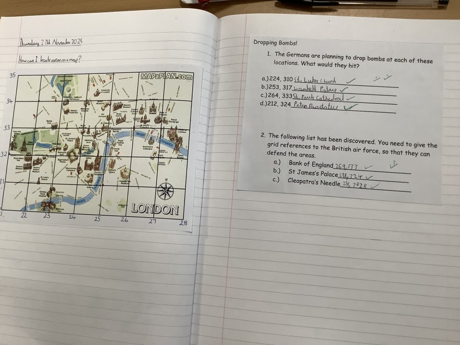
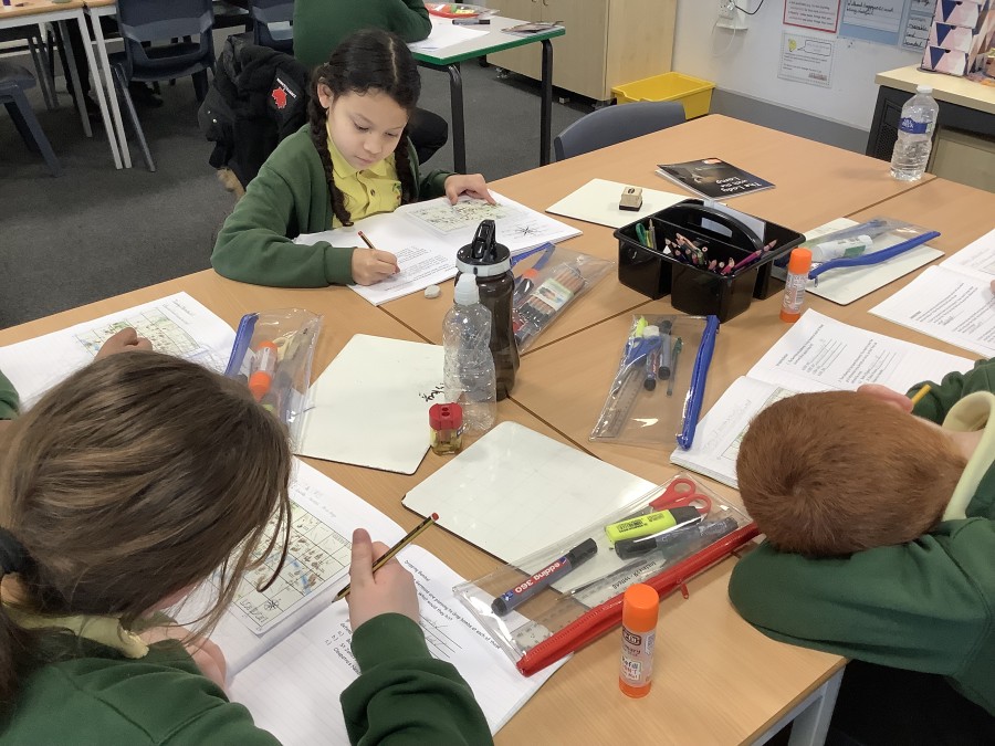
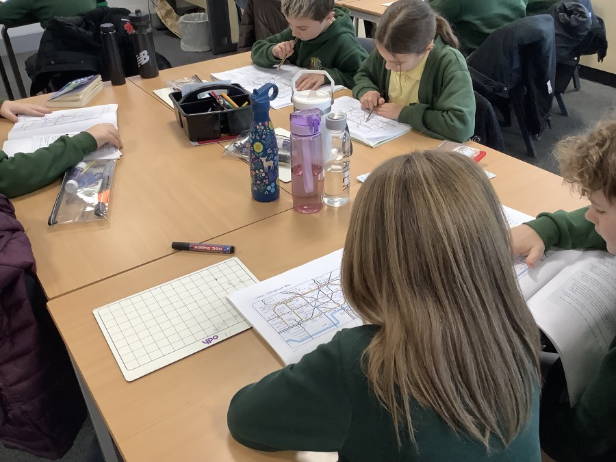
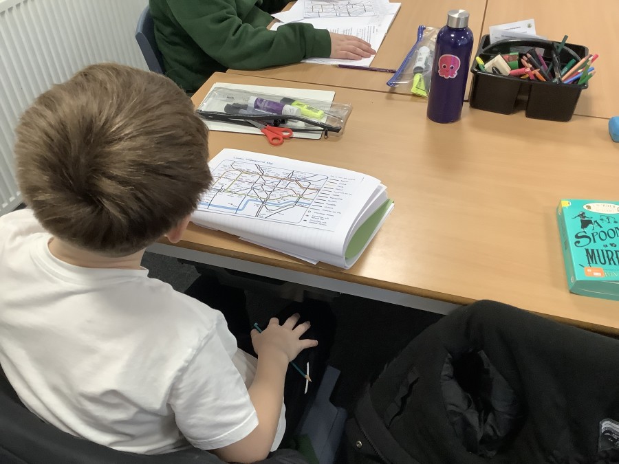
The children used atlases to look at the location of counties, cities and towns that were directly involved in World War Two – either as evacuation or host areas. Then, they used their imagination to pretend that they were part of the British intelligence during the war. They followed compass directions on the London underground map to locate ‘imaginary’ spies. Following this, the children were taught how to use six-figure grid references. They identified locations and gave grid references for others that may have been bombed. Although the scenarios weren’t real, the map skills were challenging and it was impressive that the children were able to master these.
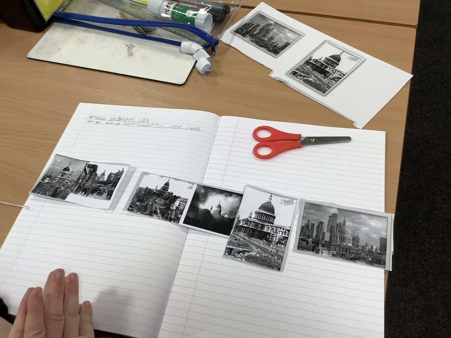
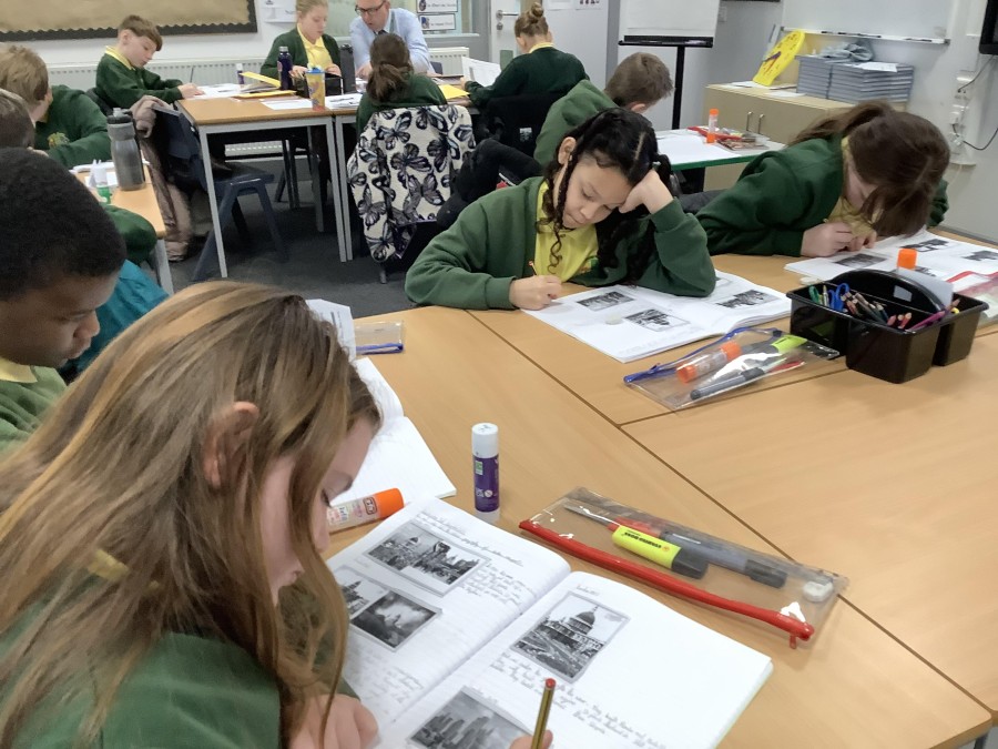
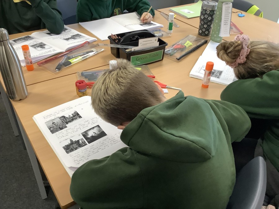
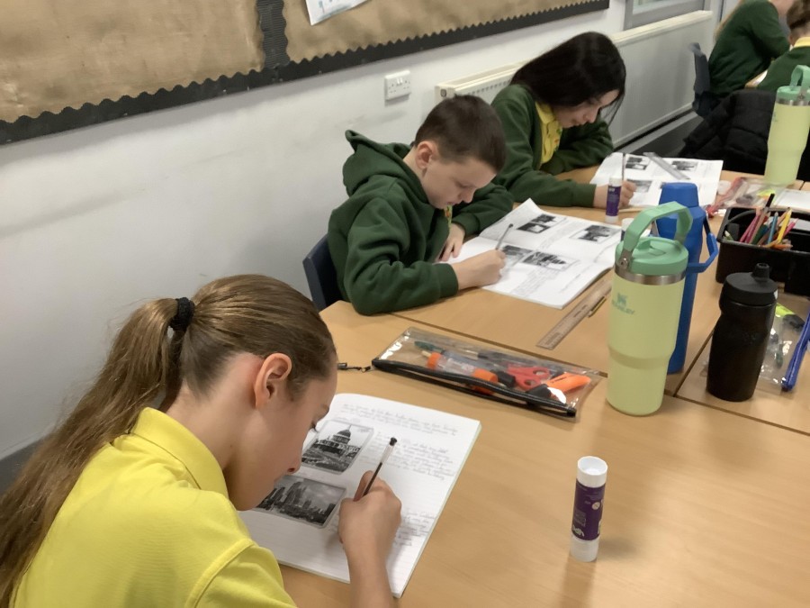
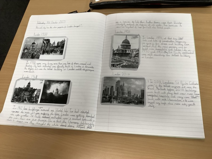
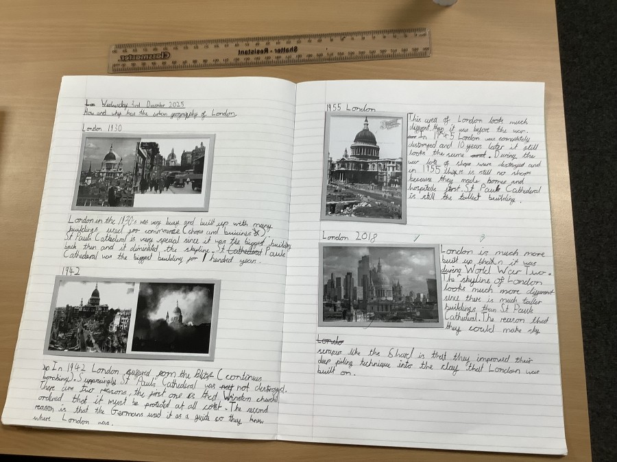
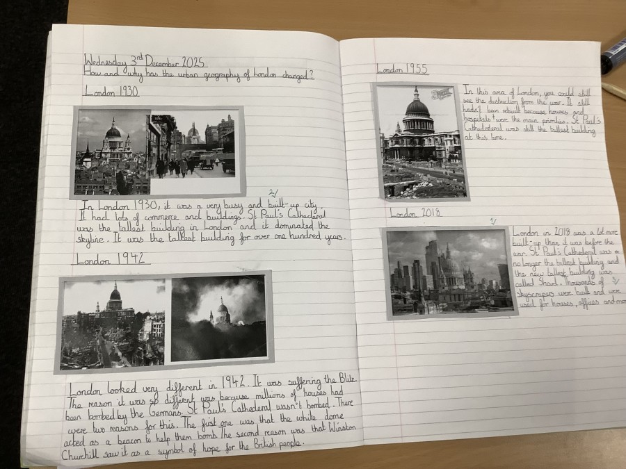
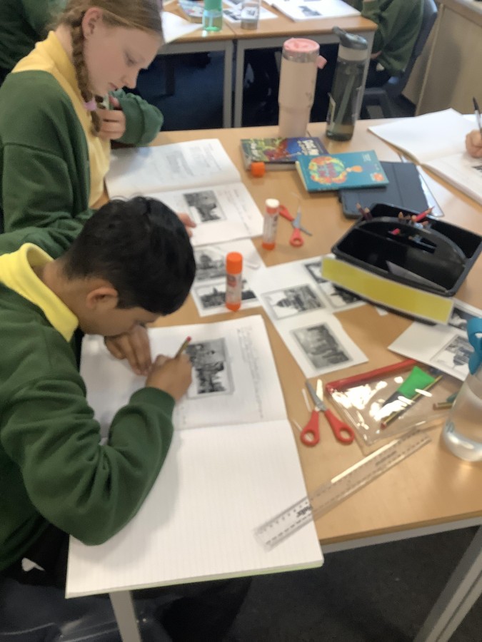
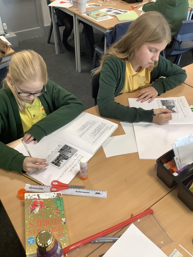
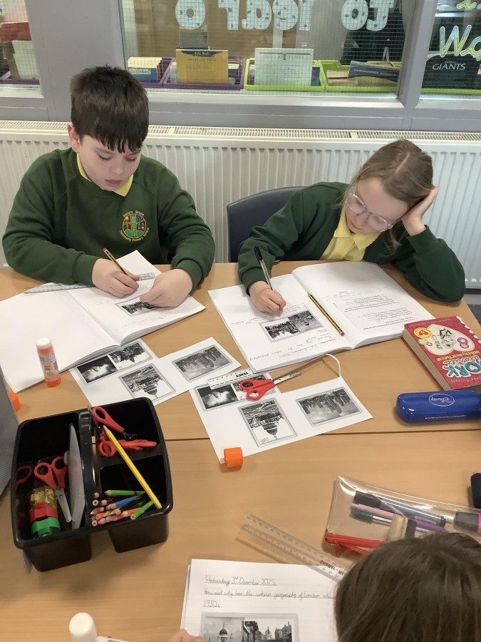
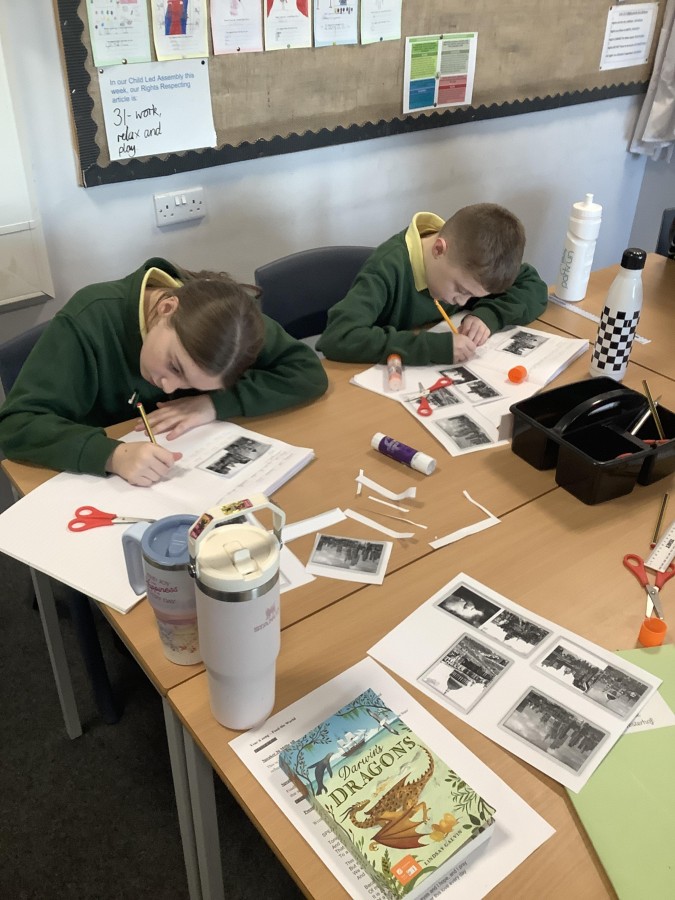
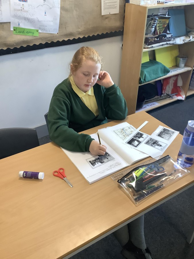
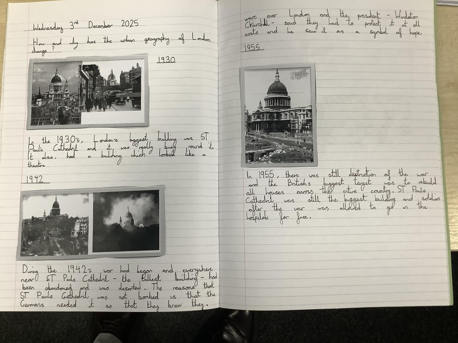
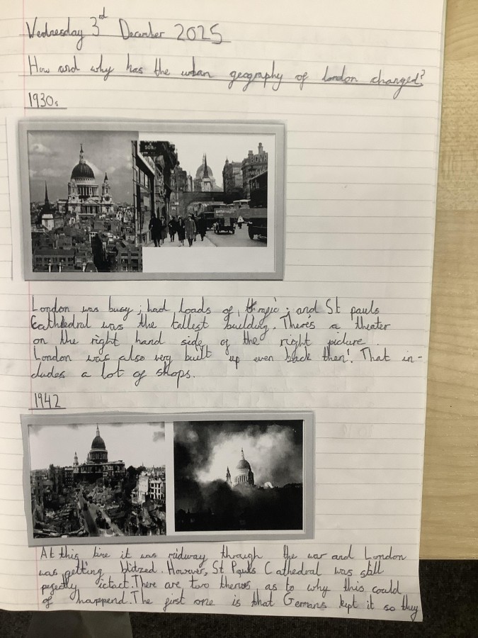
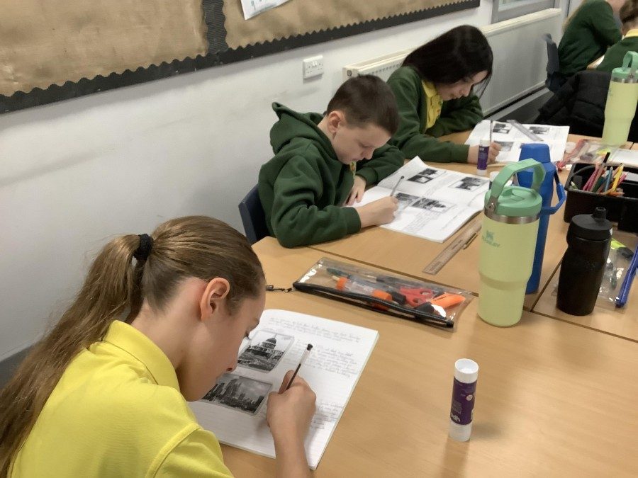
For the final piece of work in the unit, the children looked at pictures of London pre, during and post war. Initially, they then attempted to place the pictures in date order. The children compared and contrasted the pictures, making lots of observations about similarities and differences. They were all interested in the two theories about why St Paul’s Cathedral was never bombed. One, that the Germans deliberately didn’t target this building as the white dome acted as a beacon to help them to bomb London. The other, that Winston Churchill ordered its defence at all costs as he saw it as a symbol of hope for the British people. It was also interesting for the children to think about how the urban geography of London has changed and they were able to describe this well.