
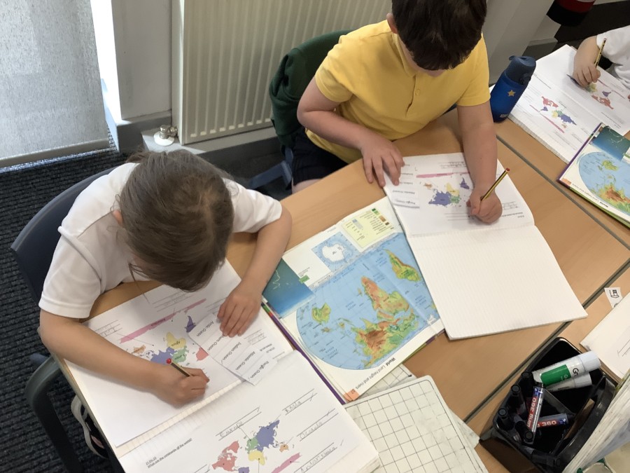
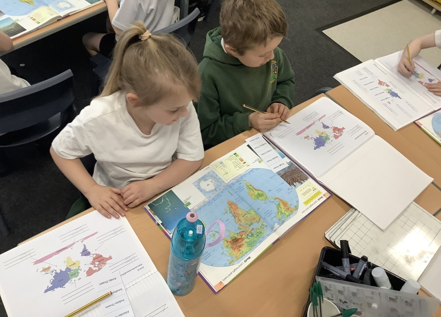
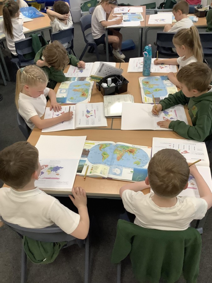
In Geography, Year Two have been learning all about the continents and oceans of the world. They have used an atlas, labelled maps and learned why the climate changes in different parts of the world.
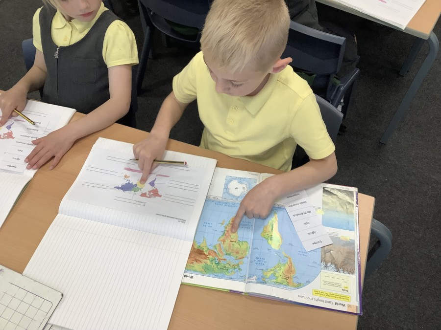
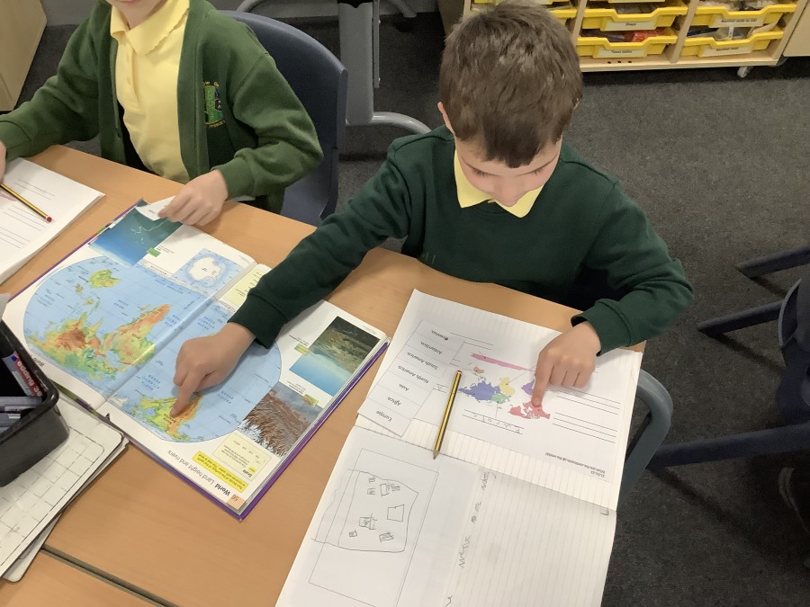
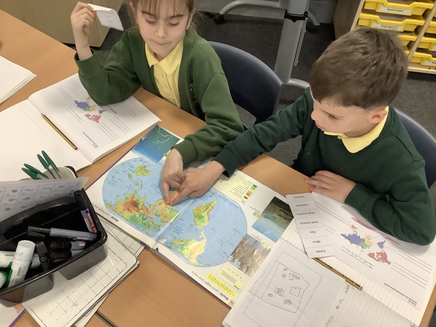
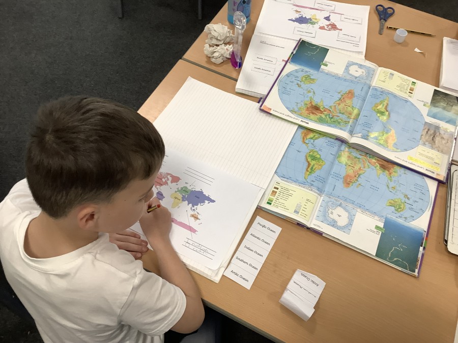
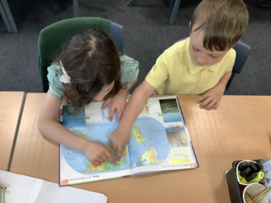
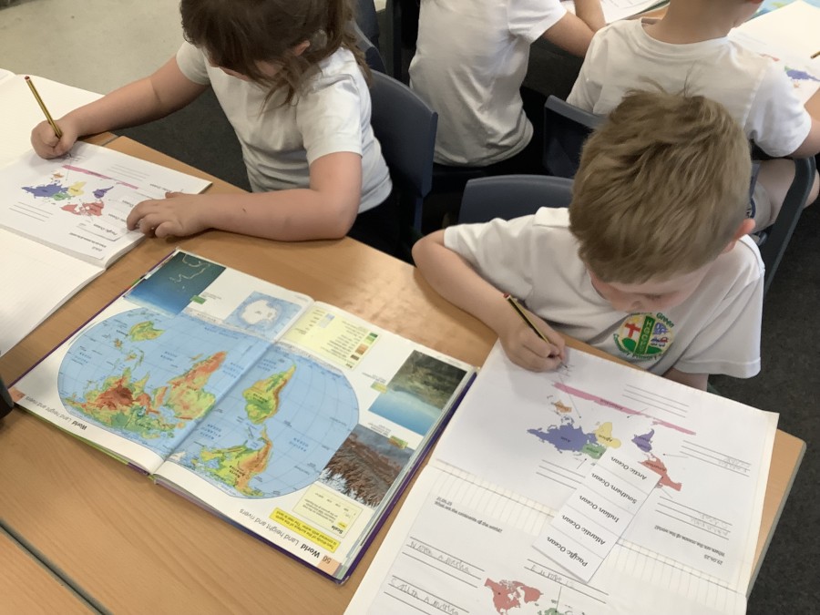
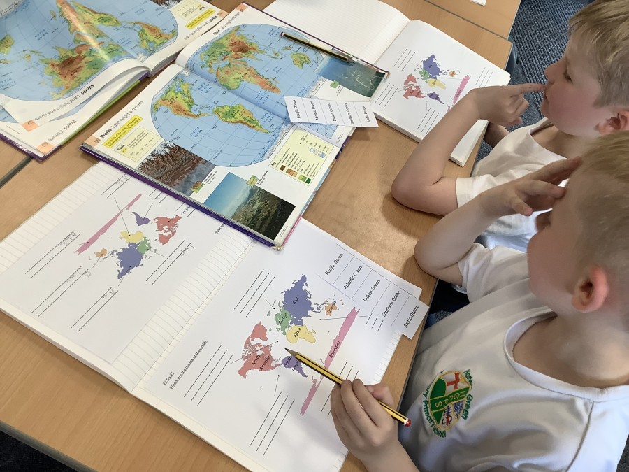
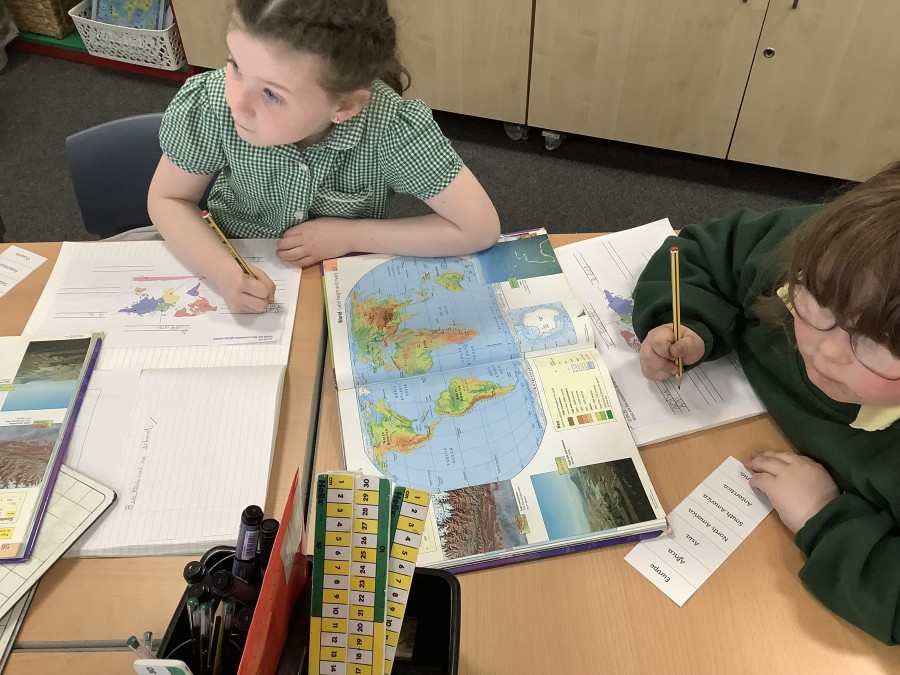
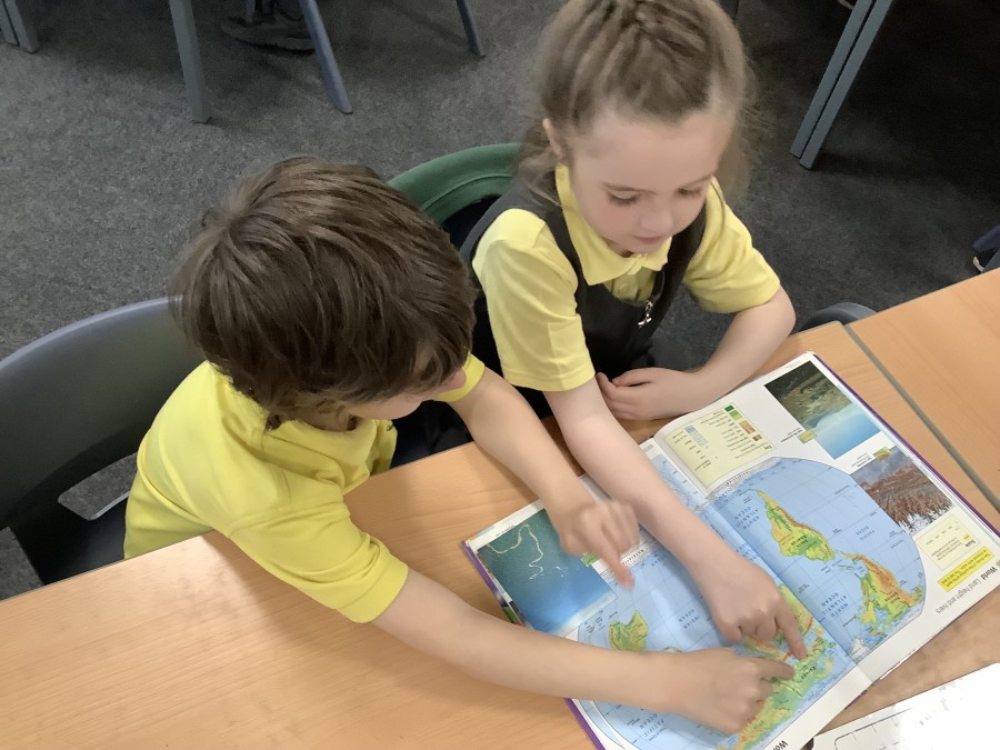
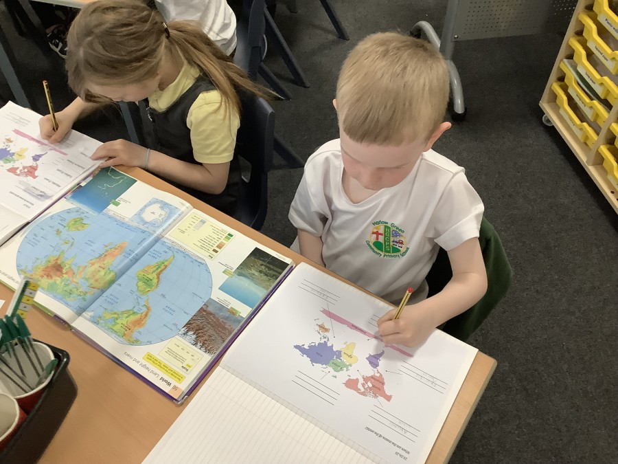
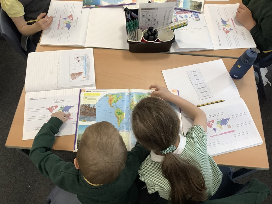
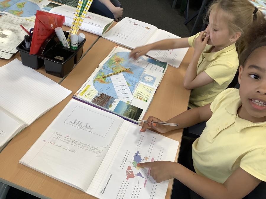
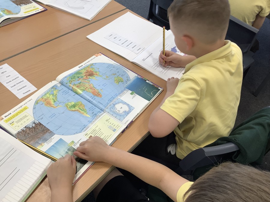
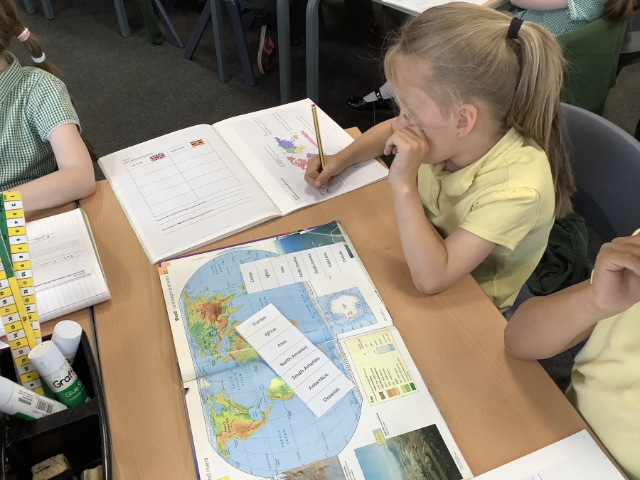
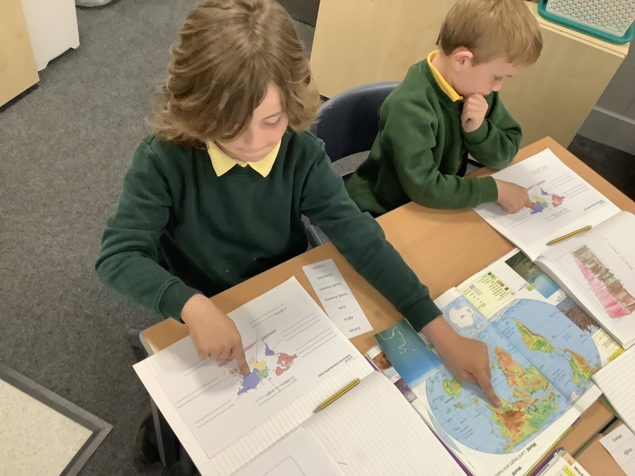
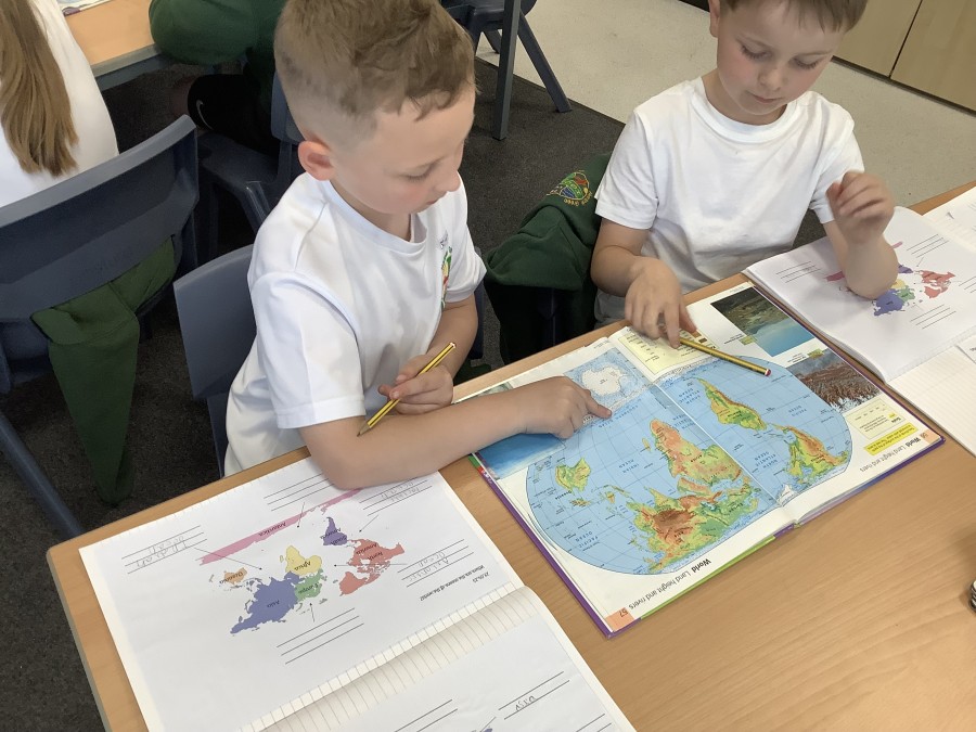
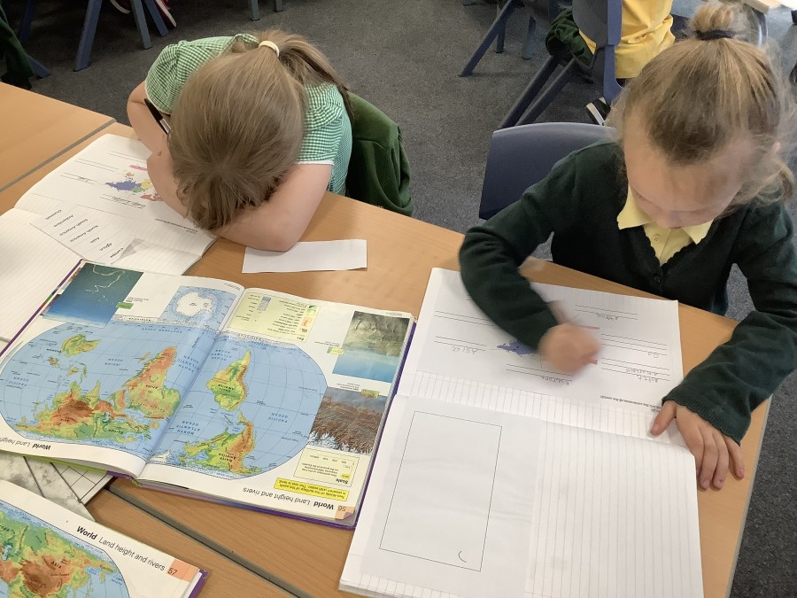
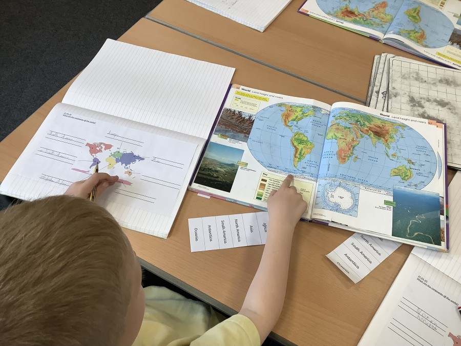
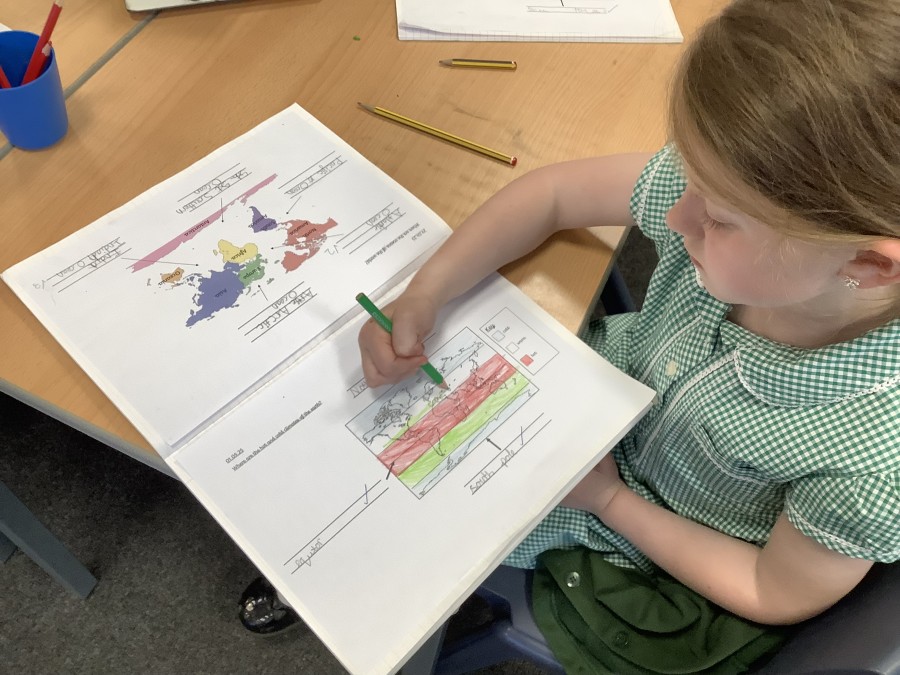
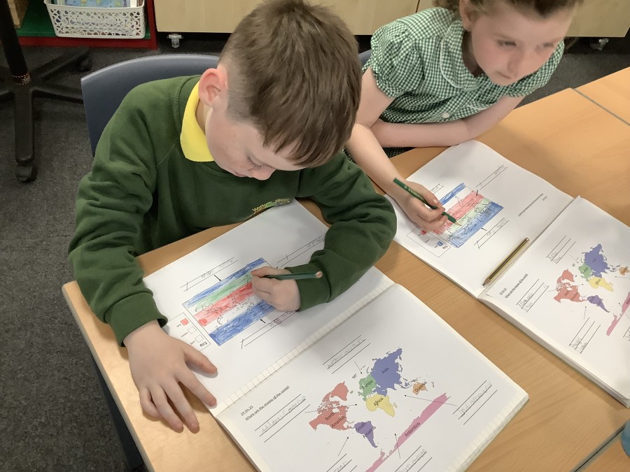
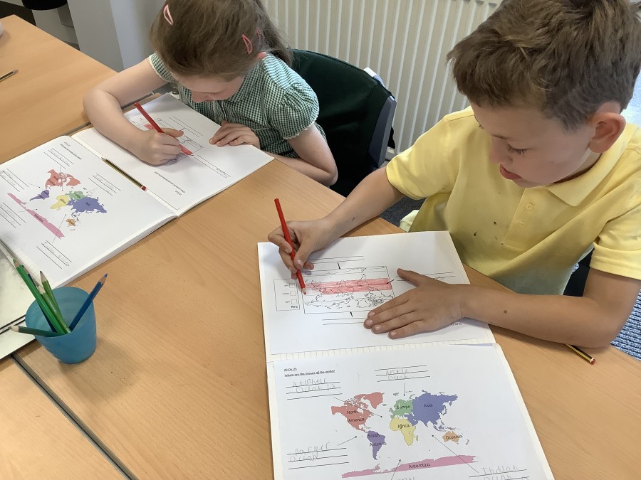
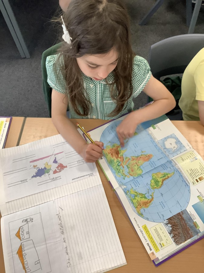
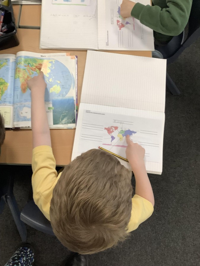
To begin, the children learned that there are seven continents in the world and that the UK is part of Europe. Did you know, a continent is a large, solid area of land? The boys and girls used an atlas to locate the continents of the world before labelling them on a map of their own.
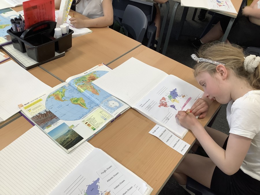
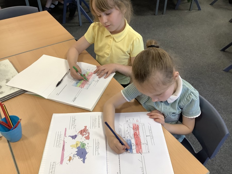
Next, the children learned that an ocean is a very large area of saltwater. Did you know, the Earth has five oceans which cover most of its surface? Again, the children used an atlas to locate and label the oceans on a map of the world. The boys and girls were amazed to discover that the longest mountain range can be found beneath the surface of the Atlantic Ocean – The Mid-Atlantic Ridge.
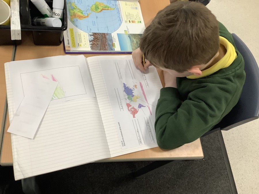
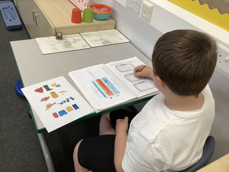
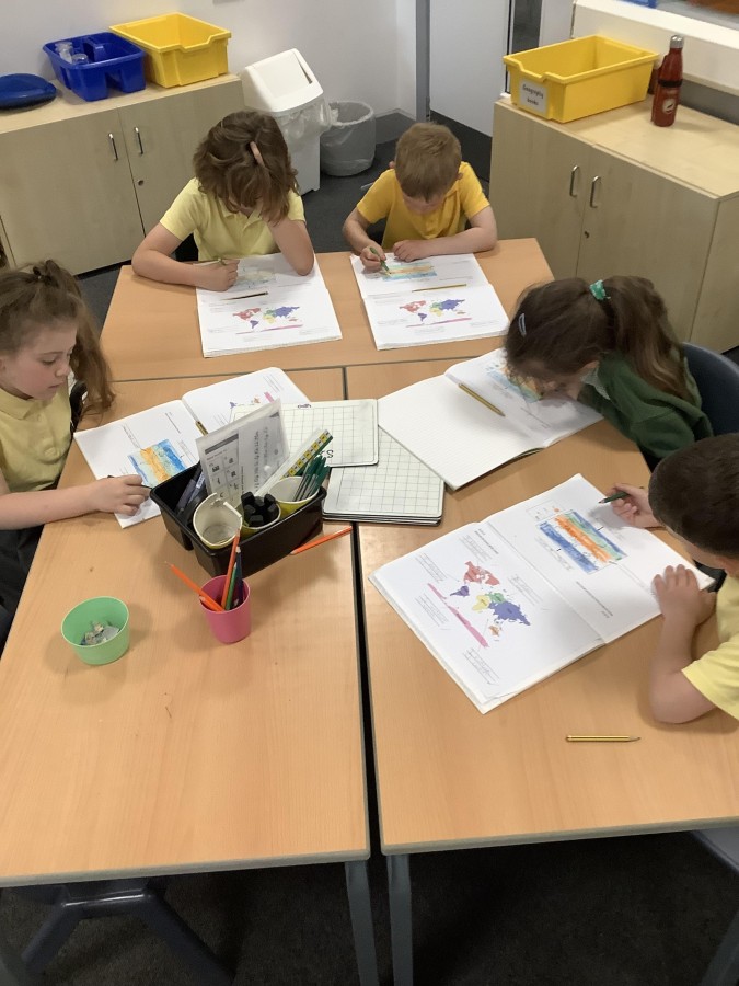
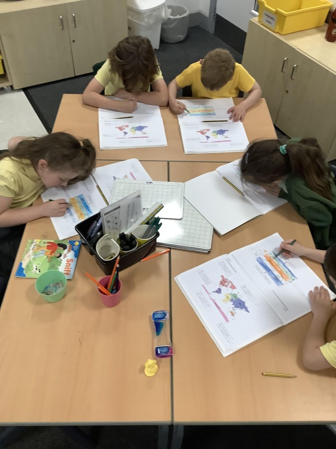
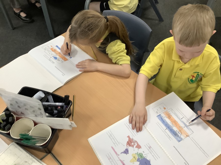
Then, the children explored why some parts of the world are hot and others are cold. Using our class globe, Year Two located the equator – an imaginary line around the centre of the Earth. They realised that countries closest to the equator have a hot climate, like Uganda, and those furthest away have a cold climate, like the North and South Pole. The boys and girls identified that the UK has a warm climate as it sits in between the equator and the poles. The children coloured in a map of the world to show how a country’s climate changes depending on its distance from the equator.
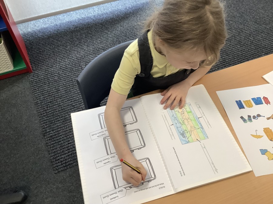
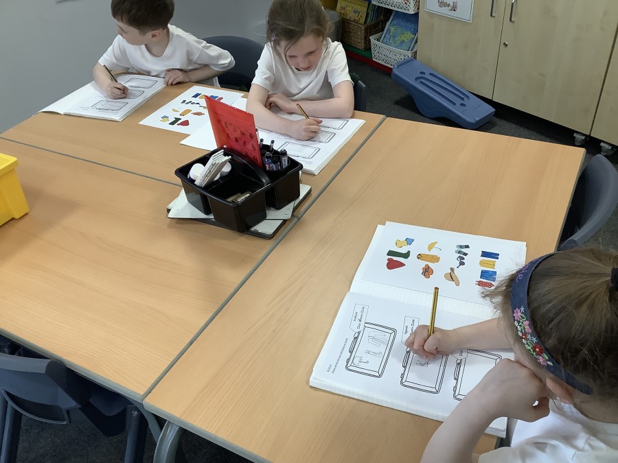
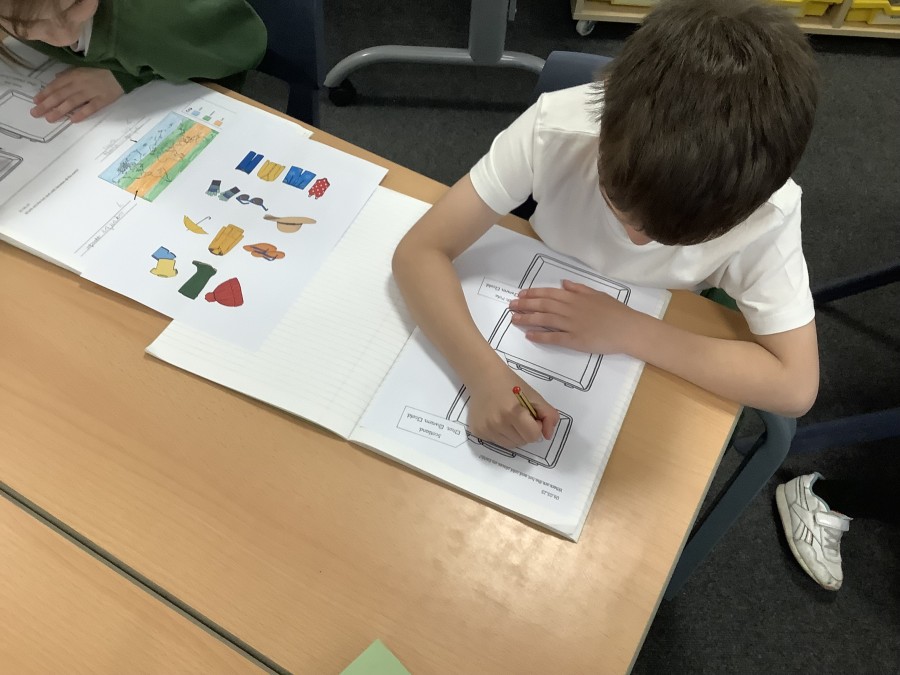
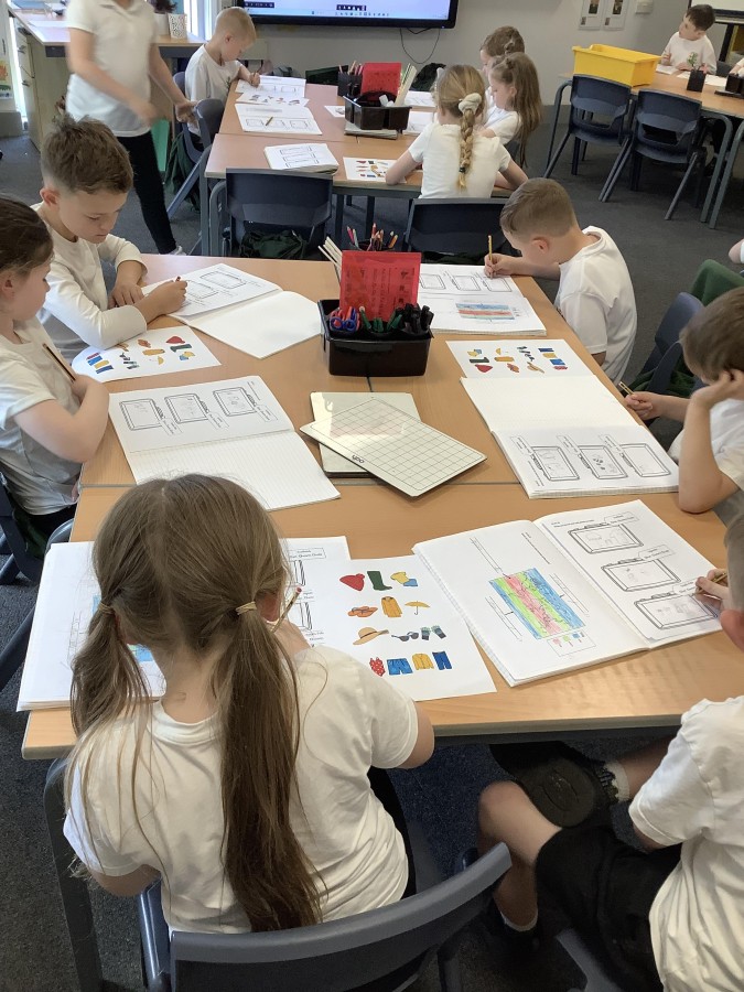
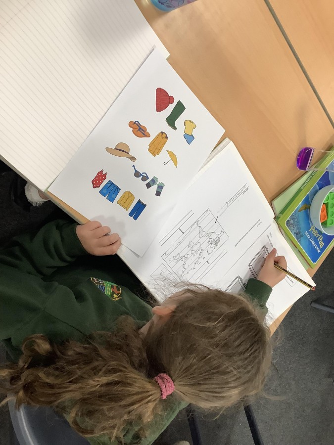
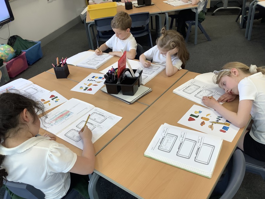
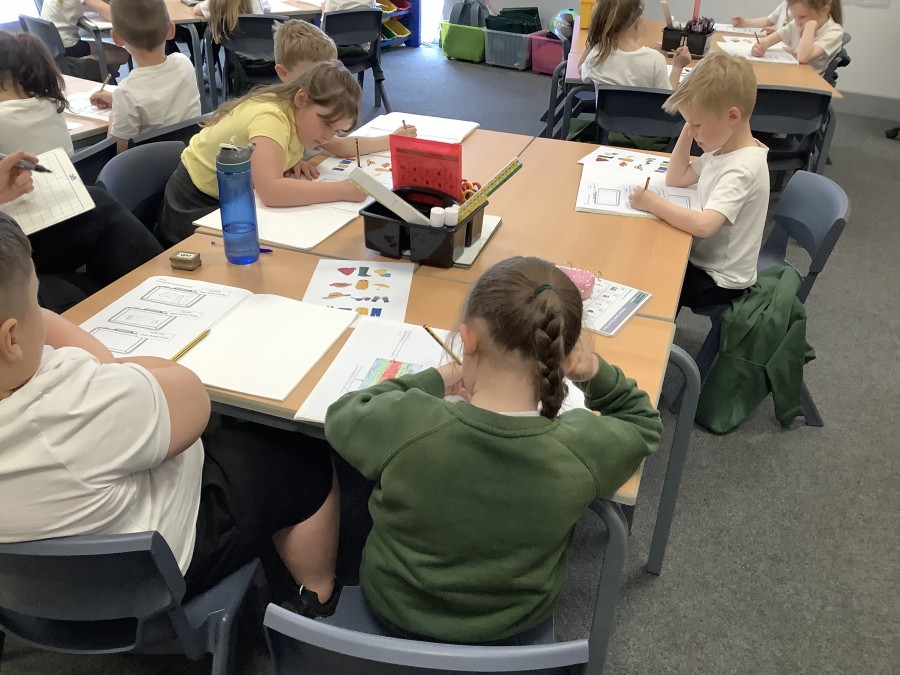
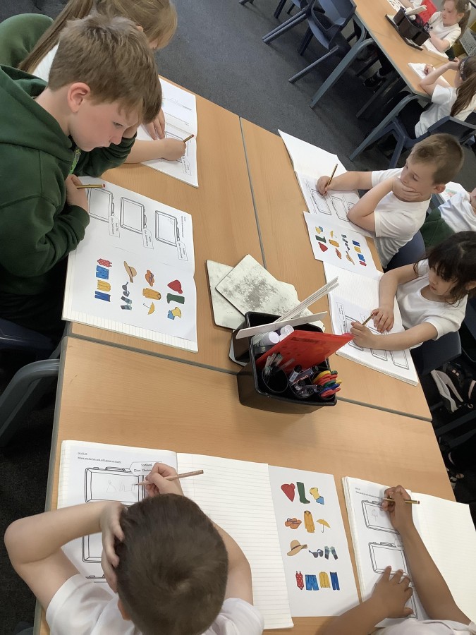
Finally, the boys and girls pretended they were going travelling. They had to pack three suitcases to three different locations – Scotland, Uganda and the South Pole. The children chose which items to pack depending on the climate. For example, they packed a swimming costume for Uganda but an umbrella and raincoat for Scotland.


