In Geography this term, Year Two have been learning about maps, map symbols and compass points.
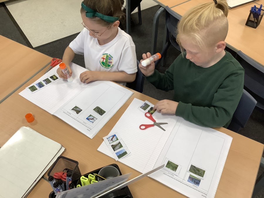
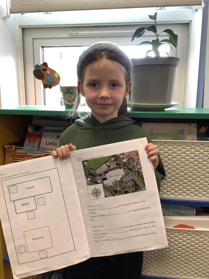
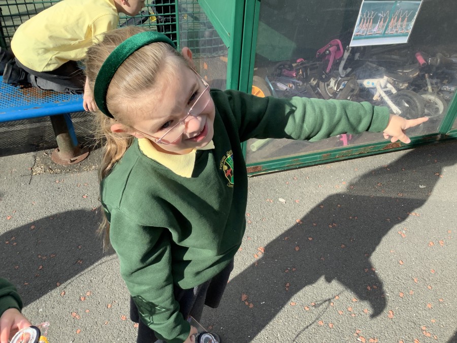
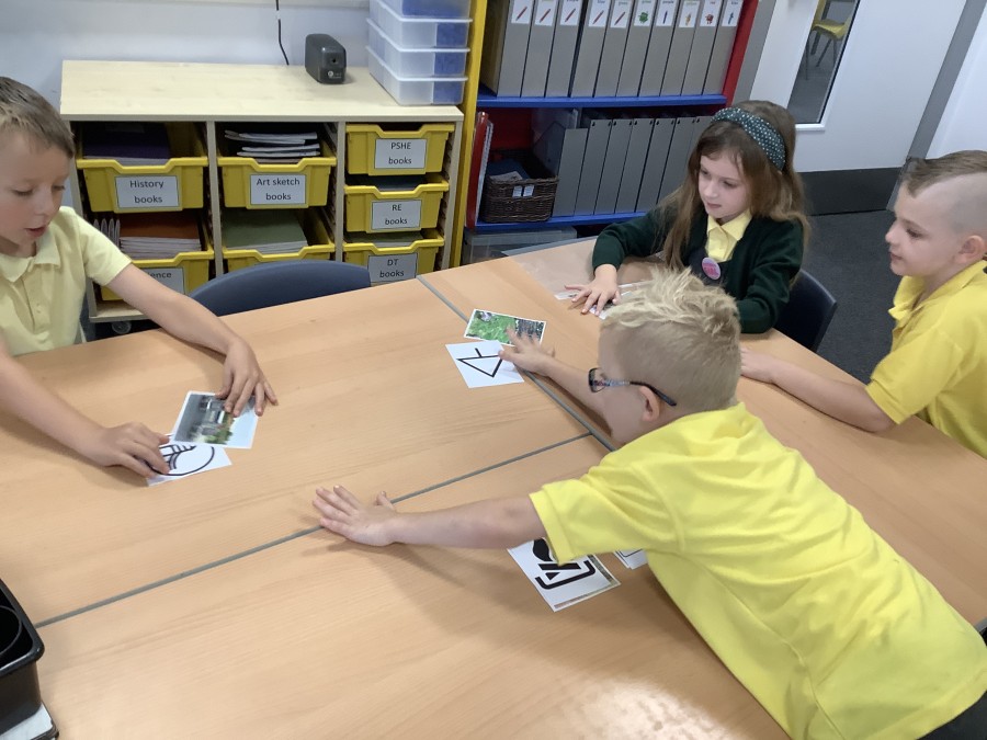
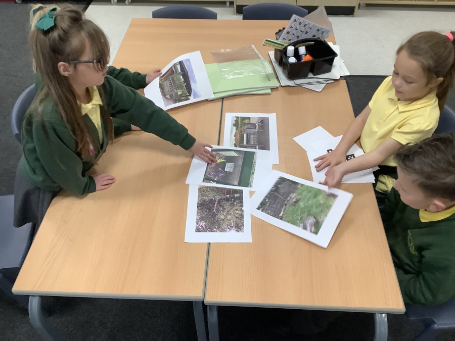
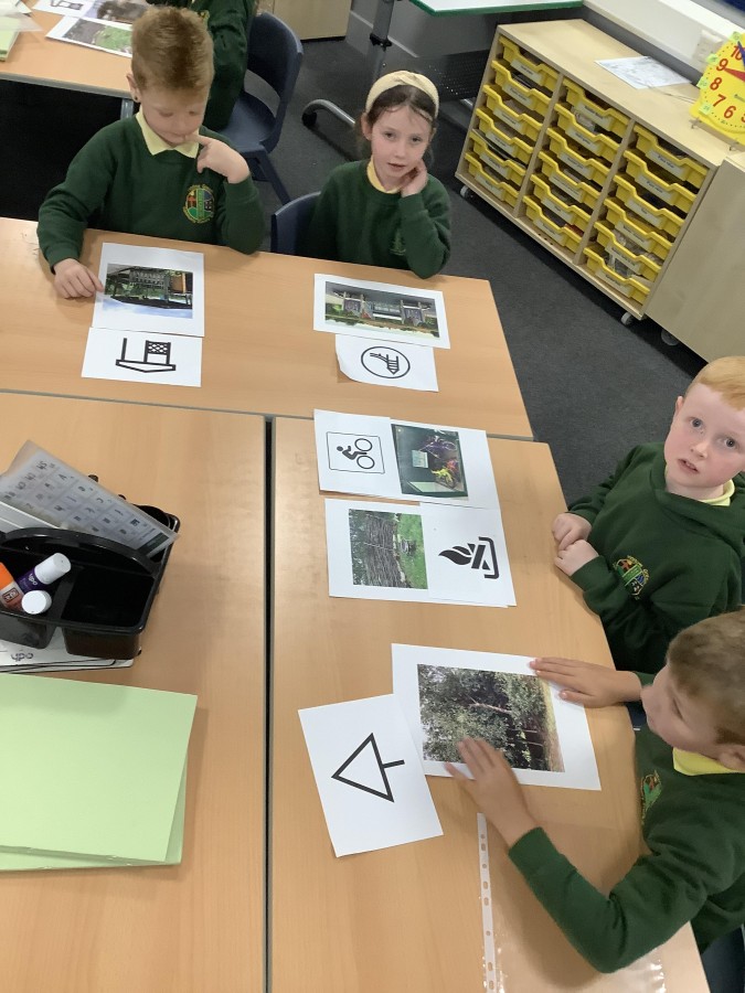
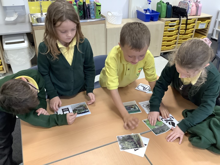
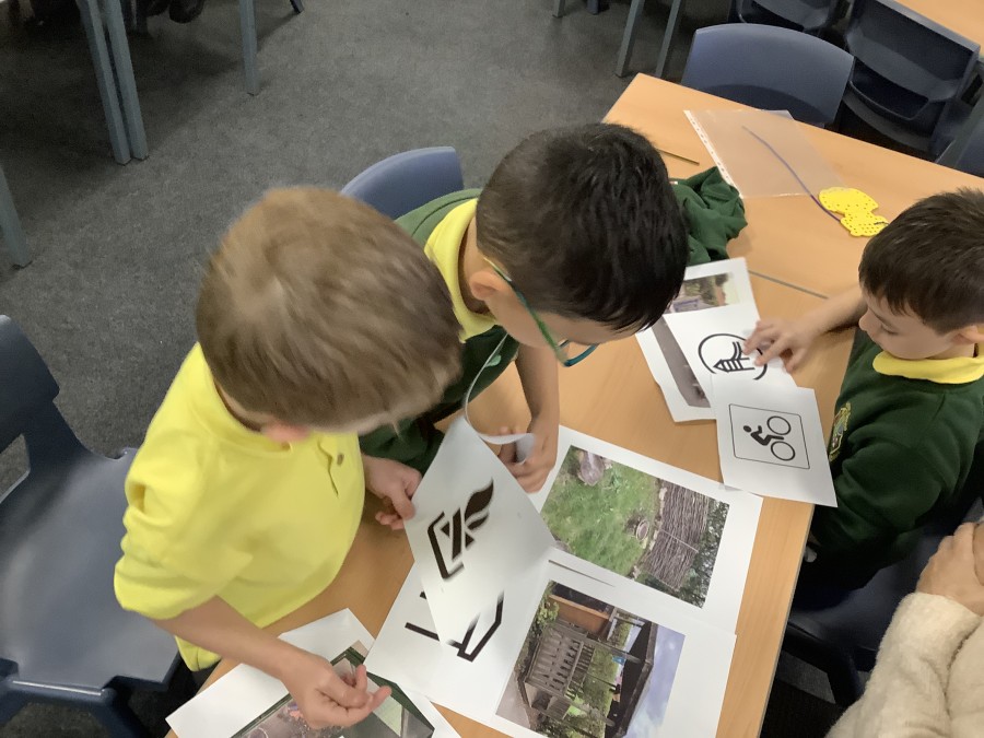
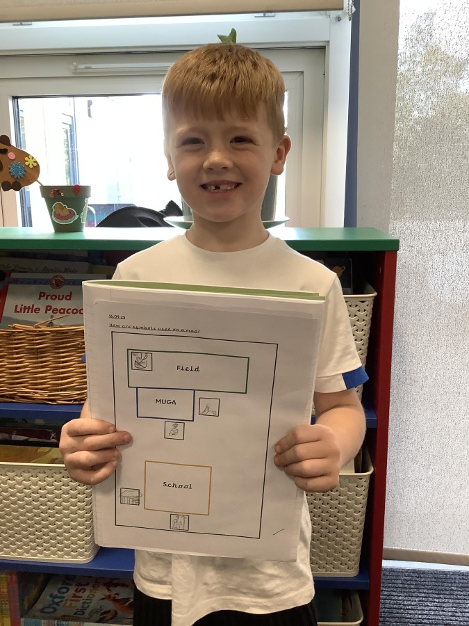
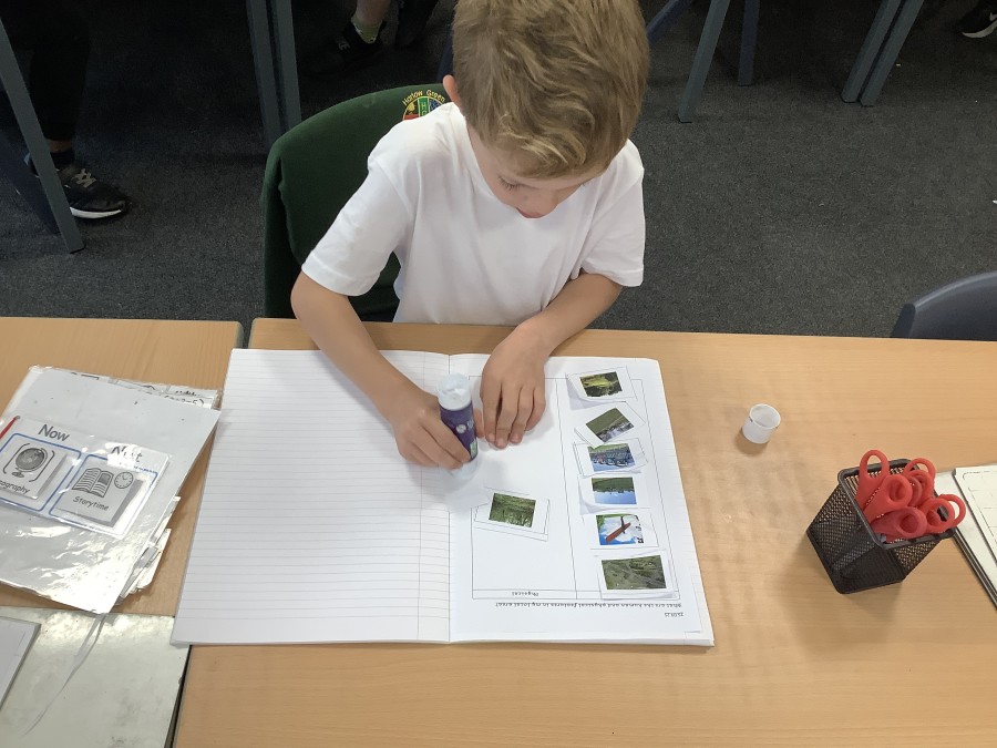
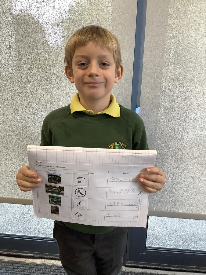
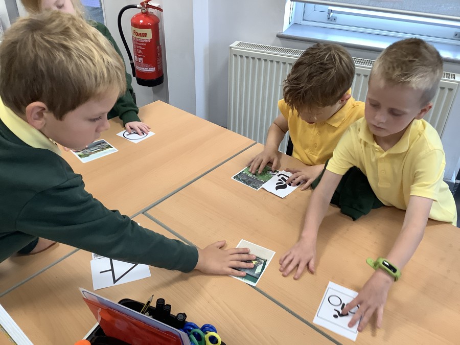
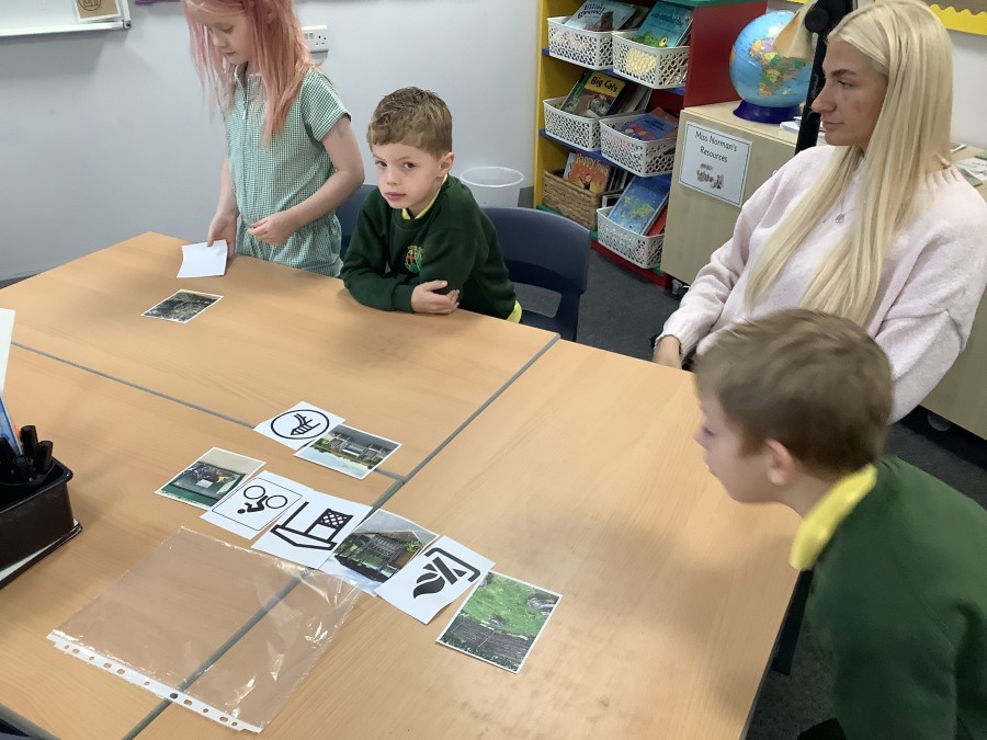
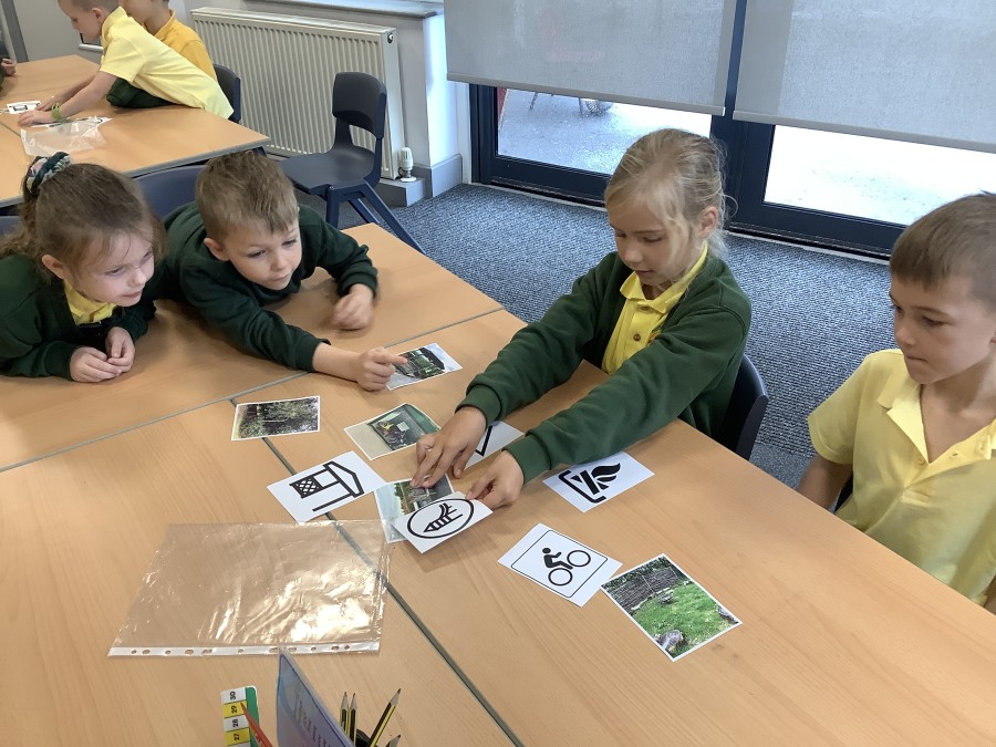
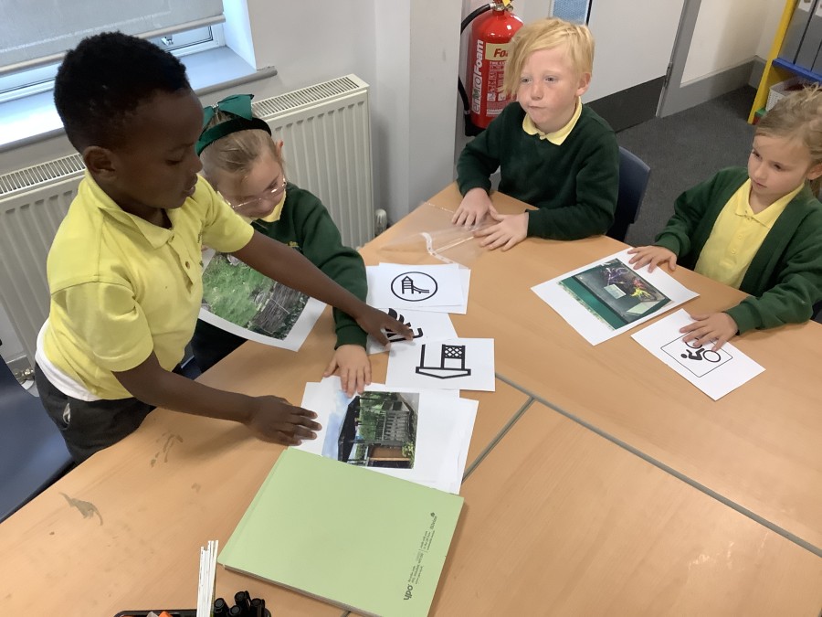
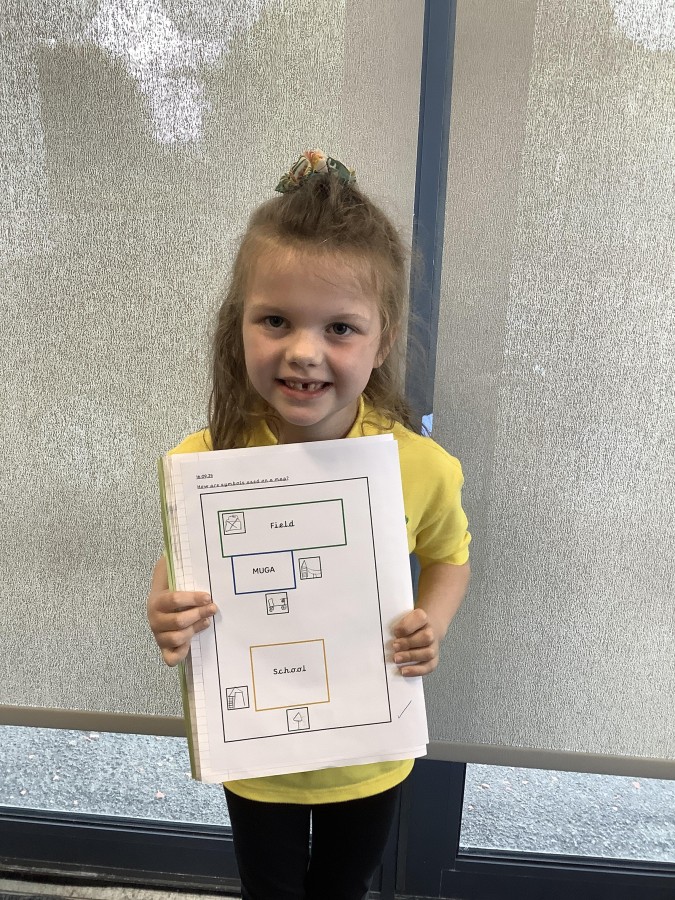
First, the children looked at some map symbols. They identified that a symbol is a simple picture that usually looks like the feature it is used to represent. They then worked groups to match some examples of map symbols to pictures of geographical features in the school grounds.
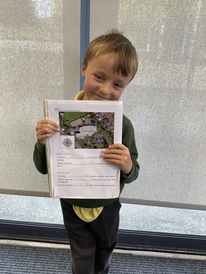
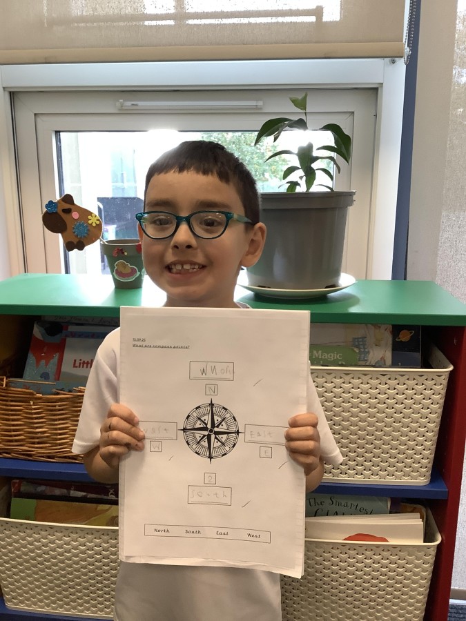
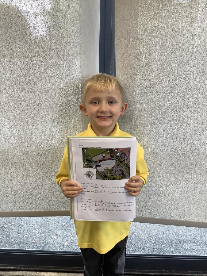
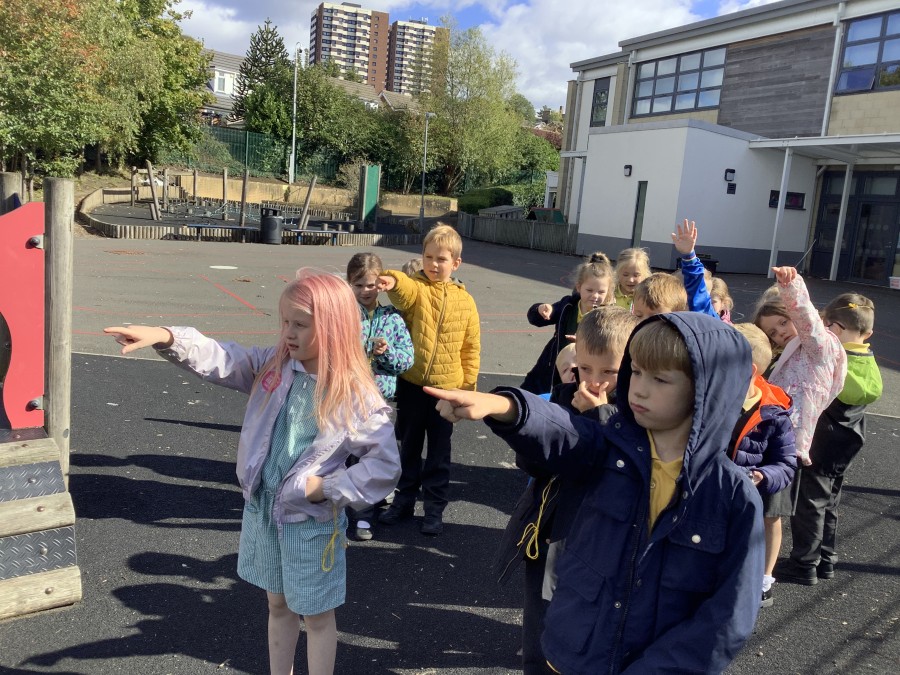
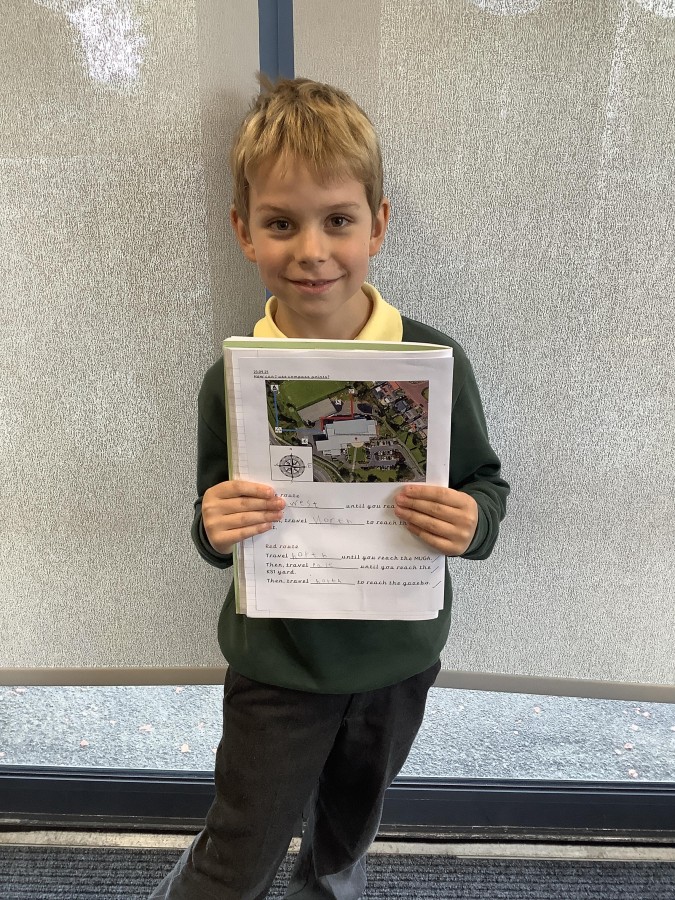
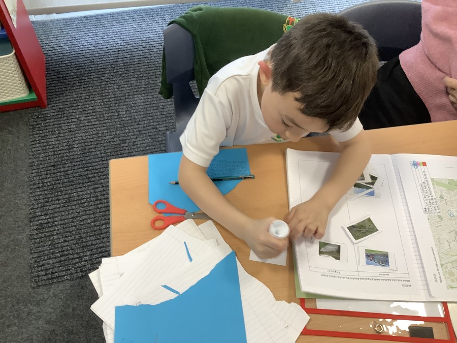
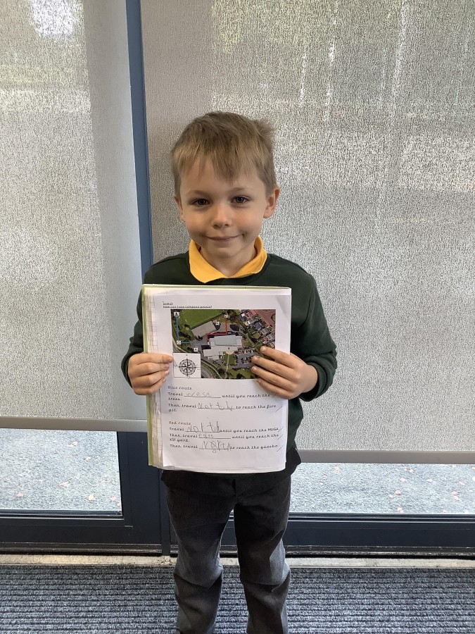
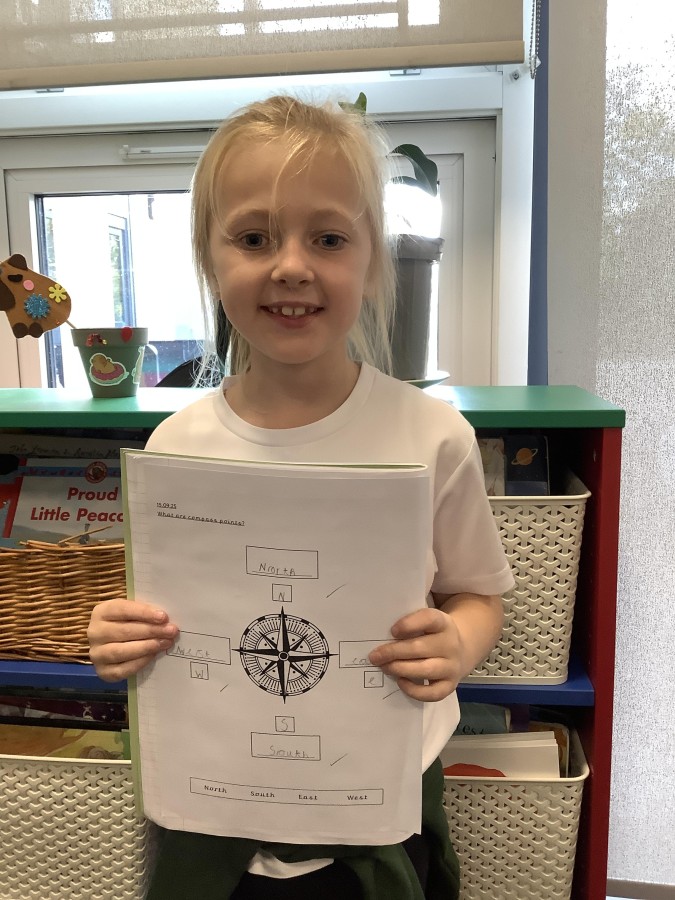
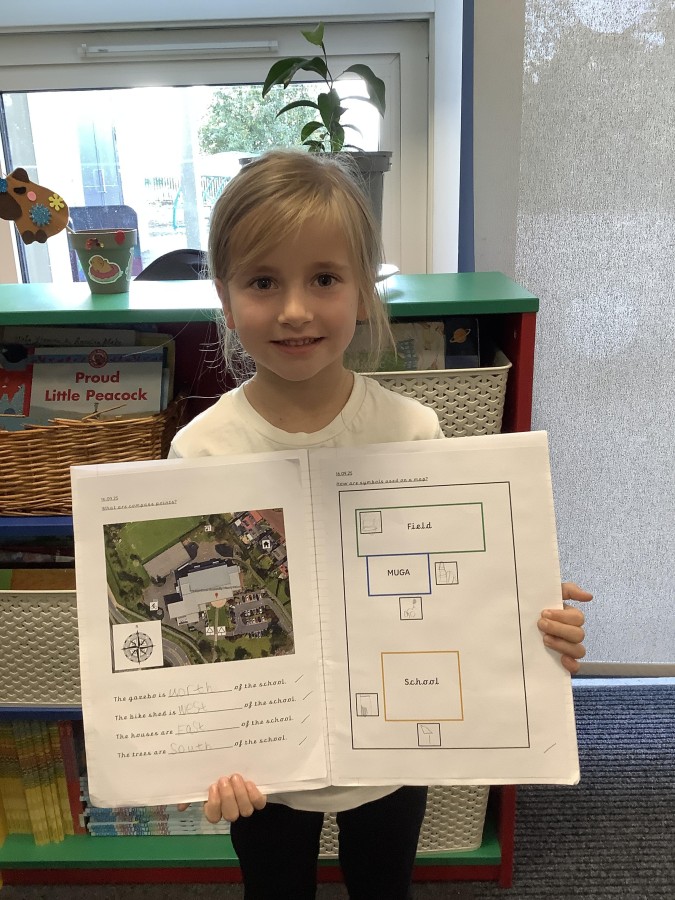
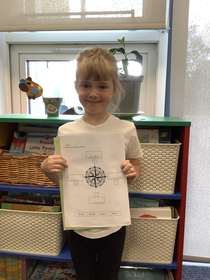
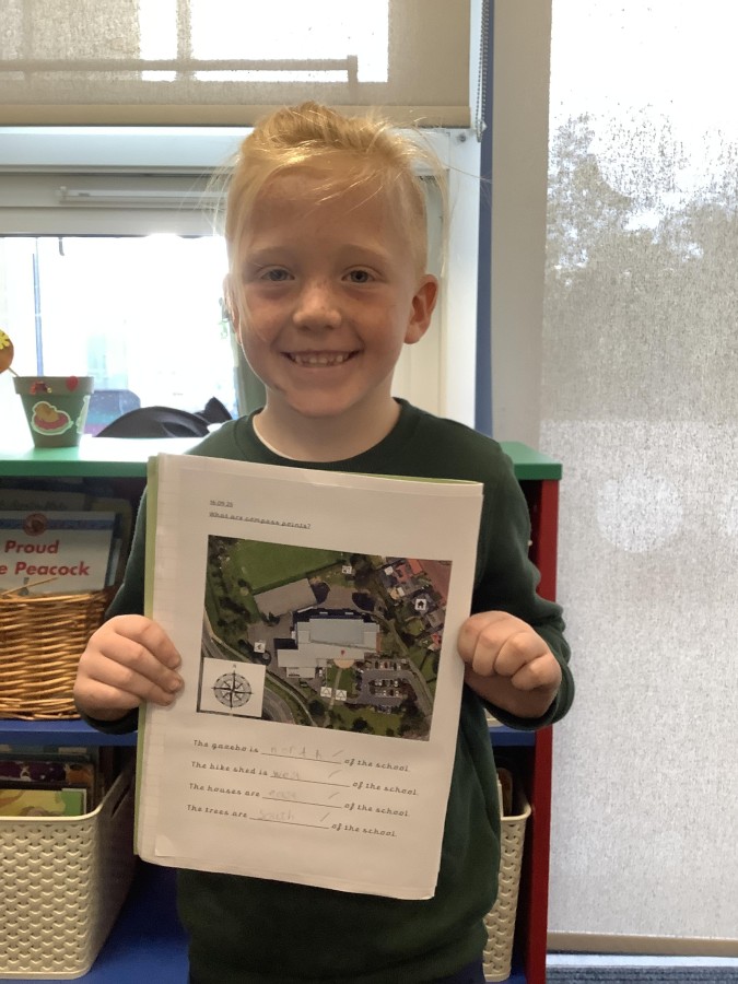
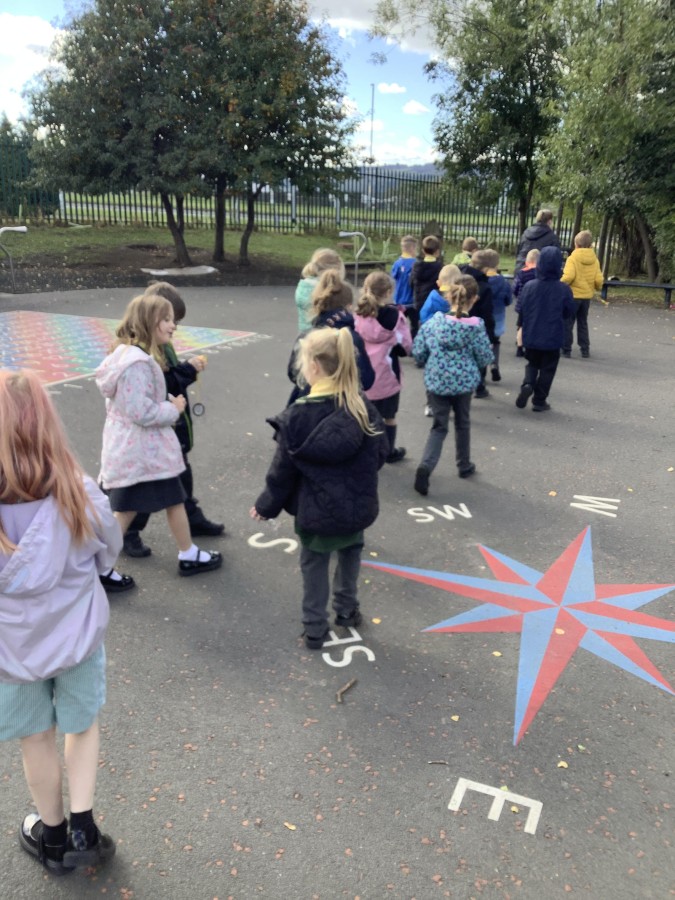
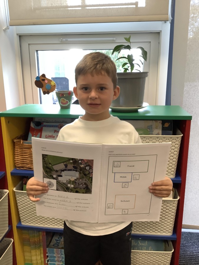
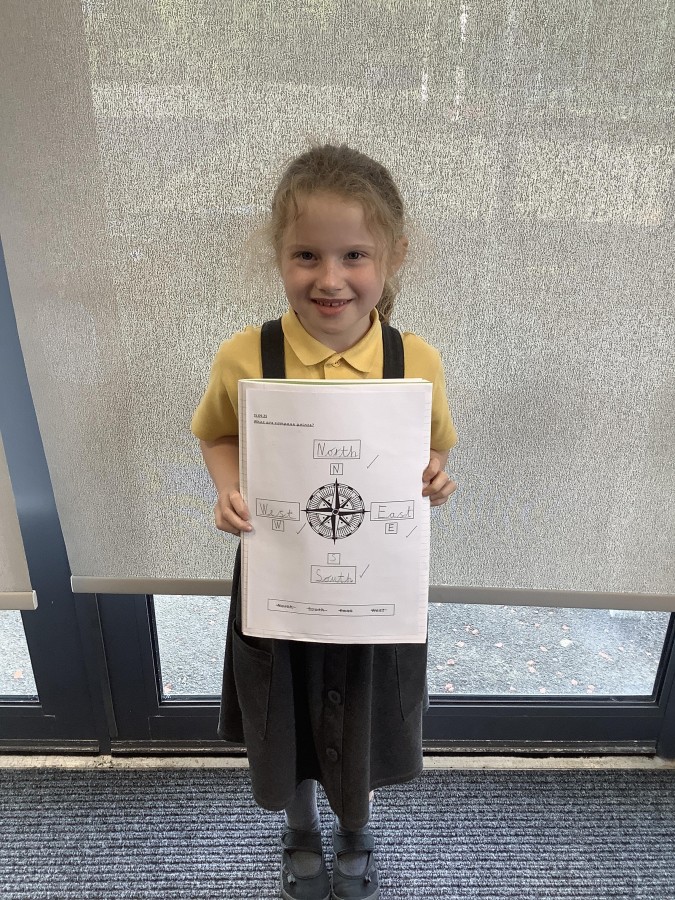
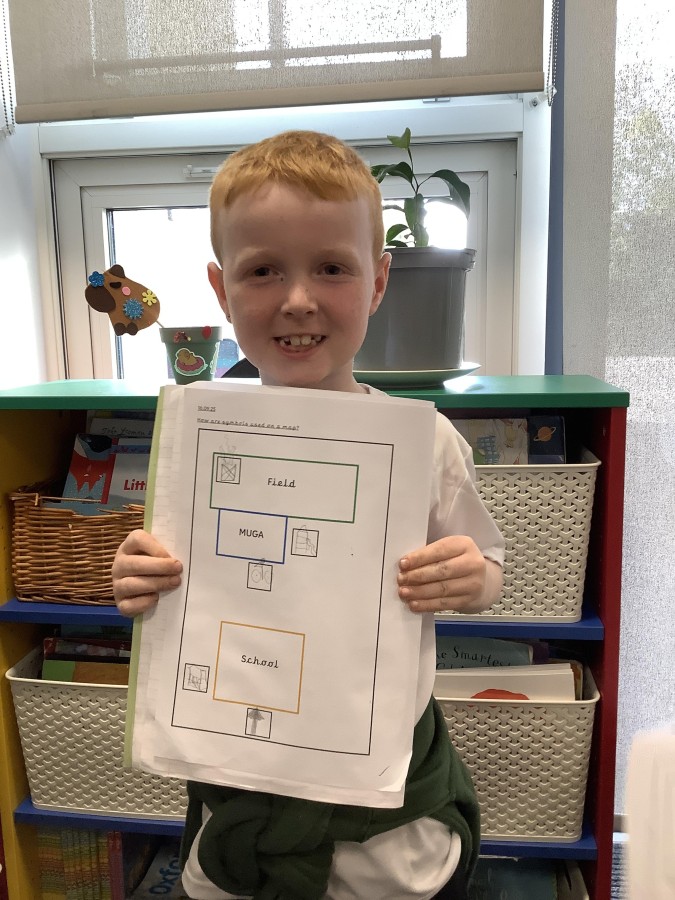
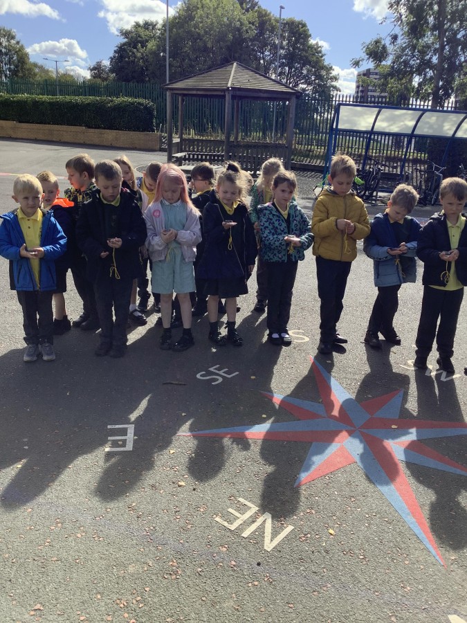
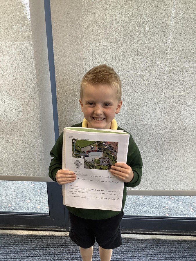
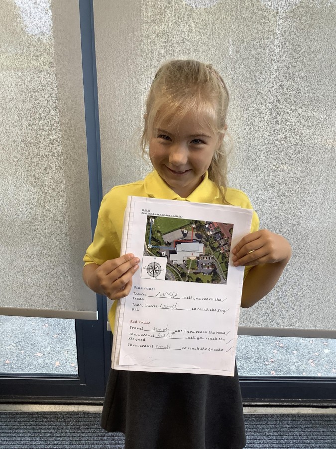
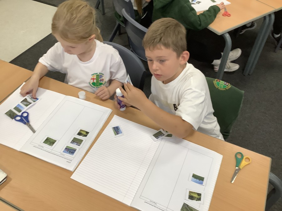
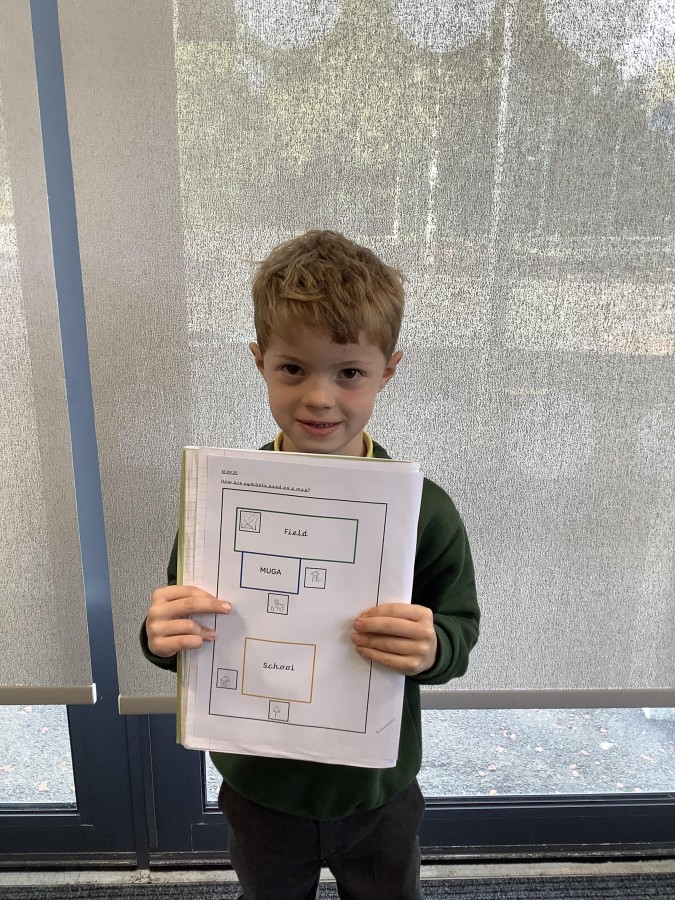
After that, the boys and girls learnt about the four main compass pints – north, east south and west. They were able to use these to describe where different geographical features were in relation to the school building. The children were also able to use aerial images of the school grounds to help them to create their own simple maps of the school by adding appropriate symbols.
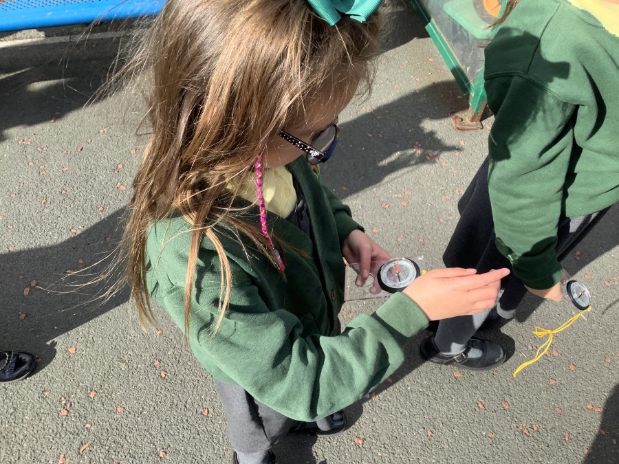
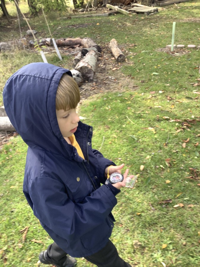
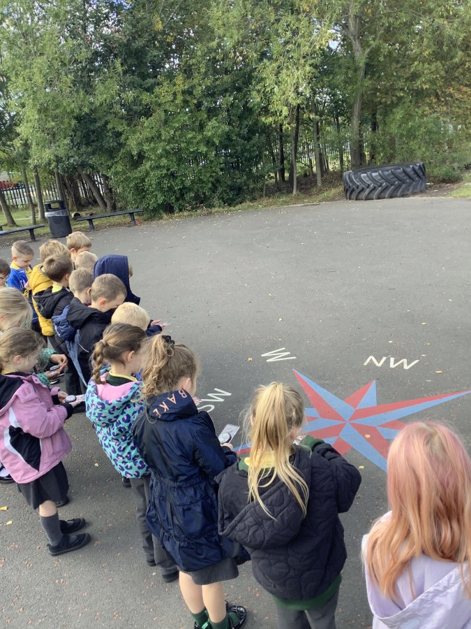
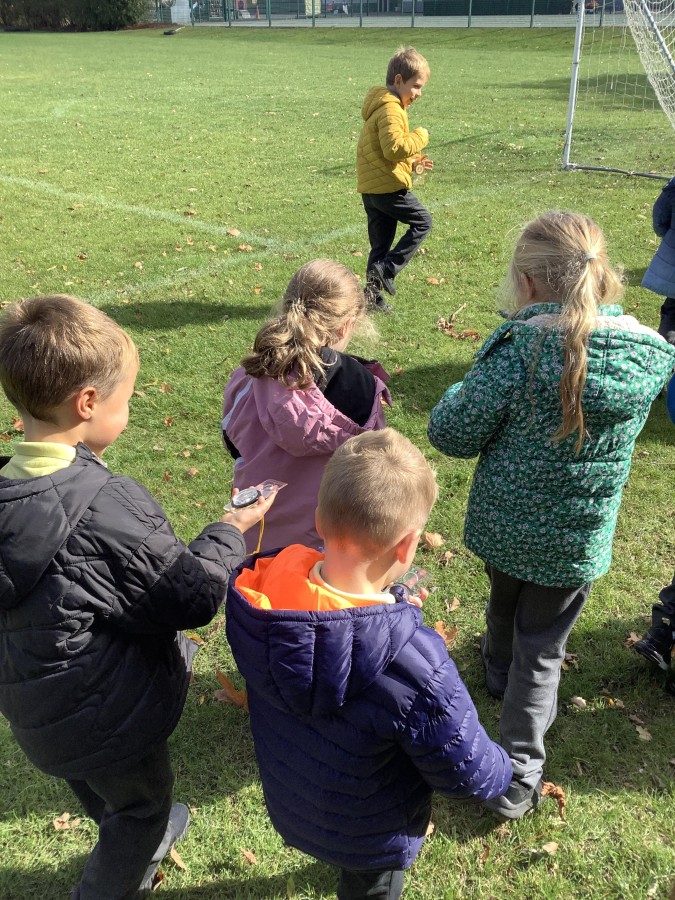
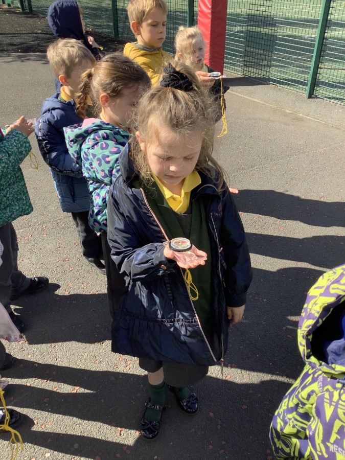
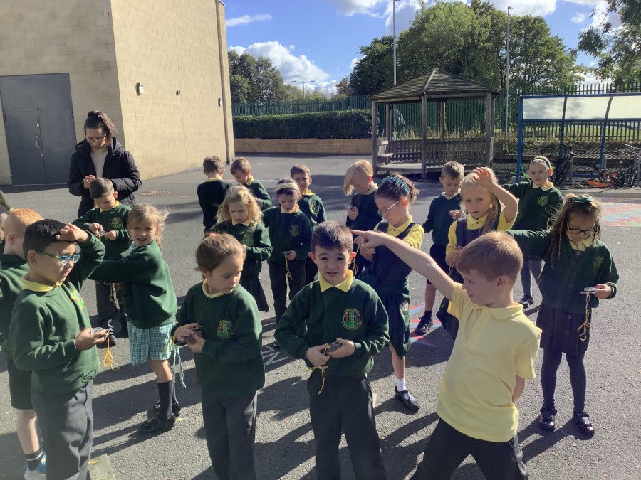
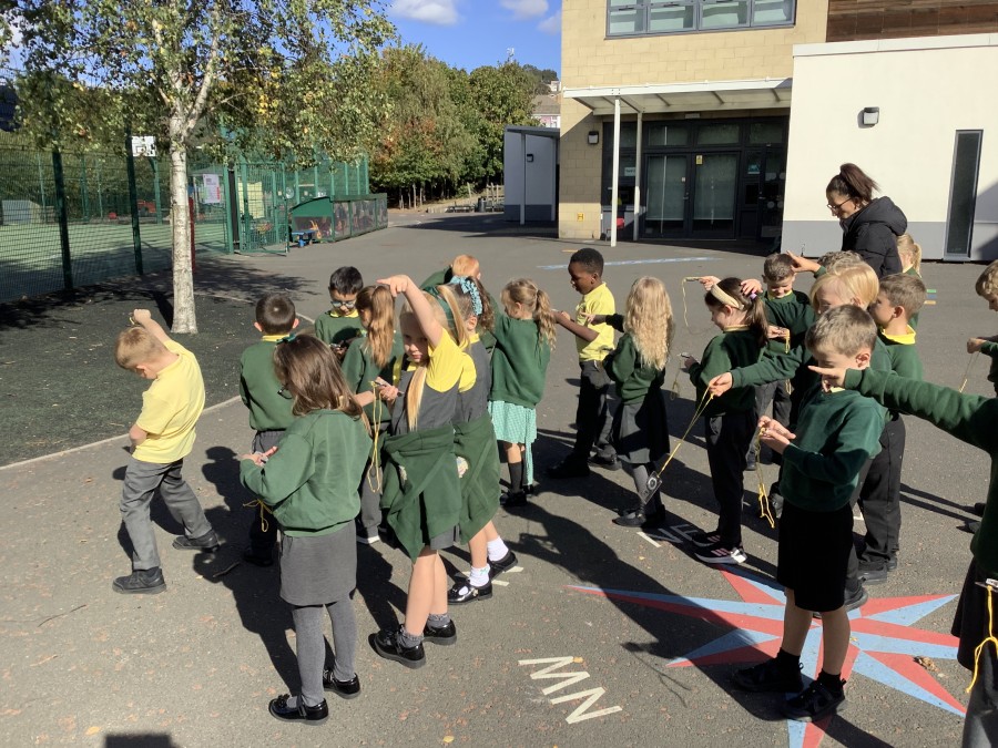
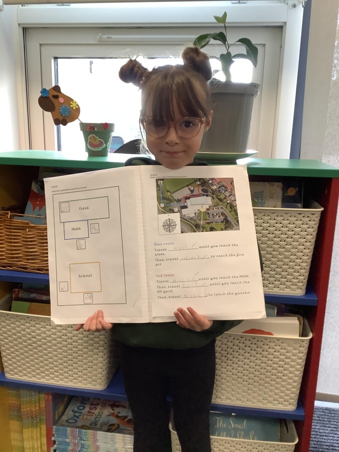
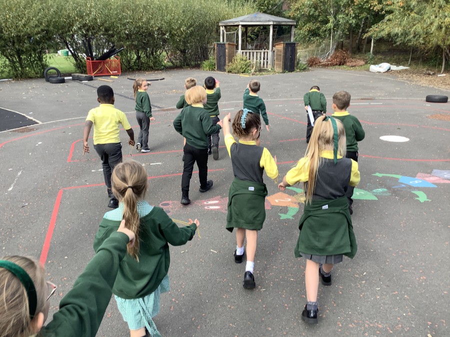
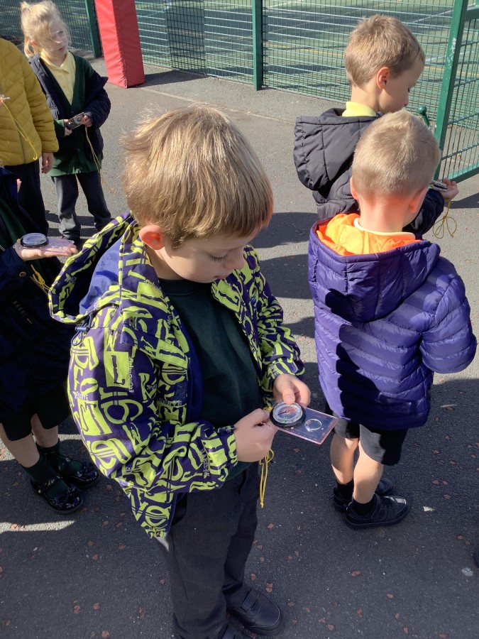
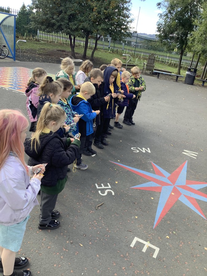
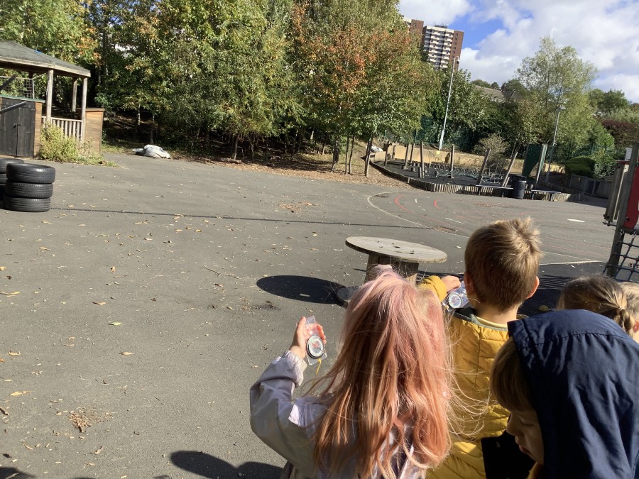
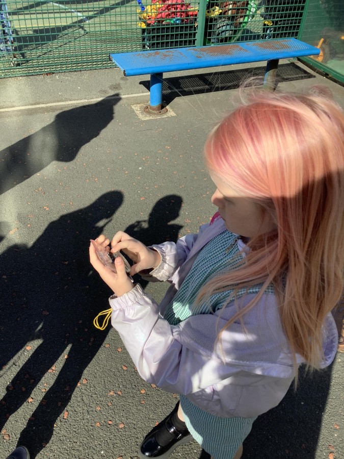
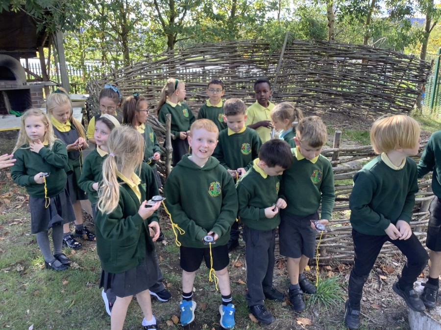
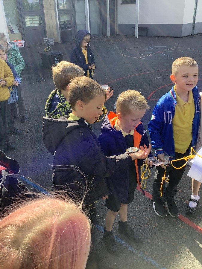
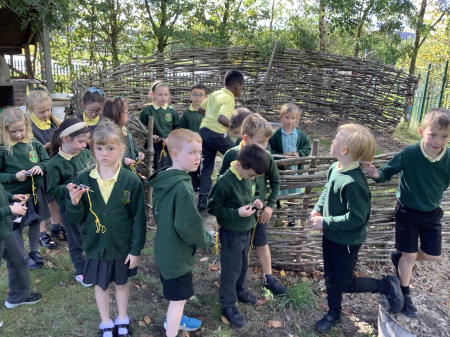
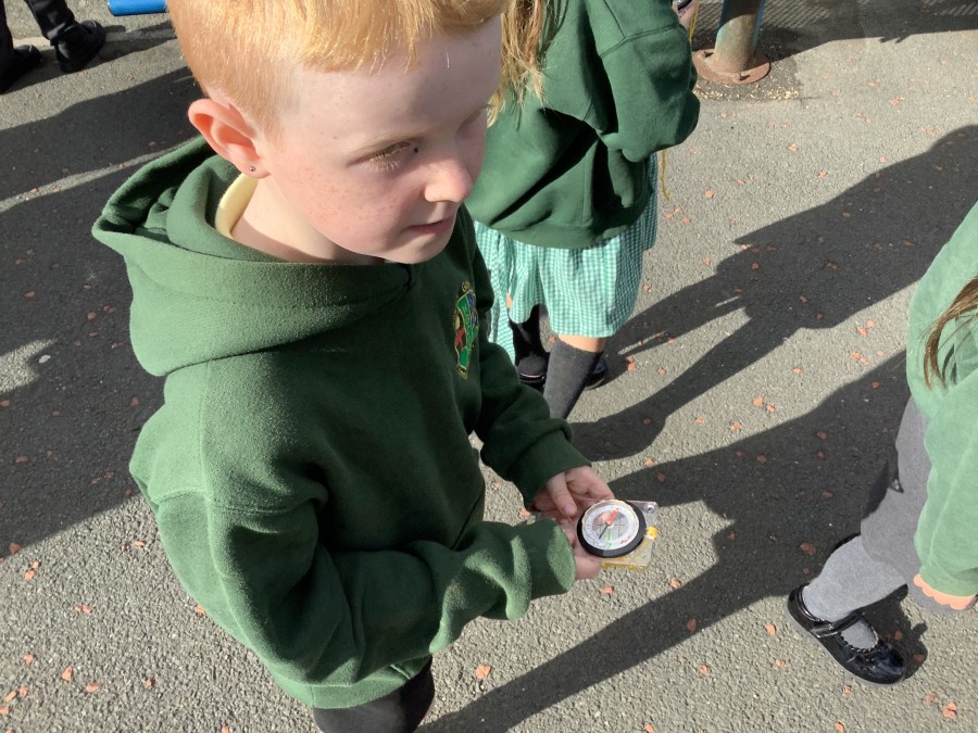
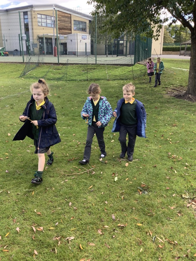
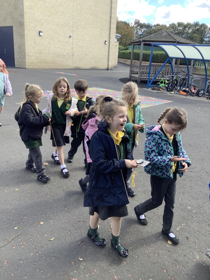
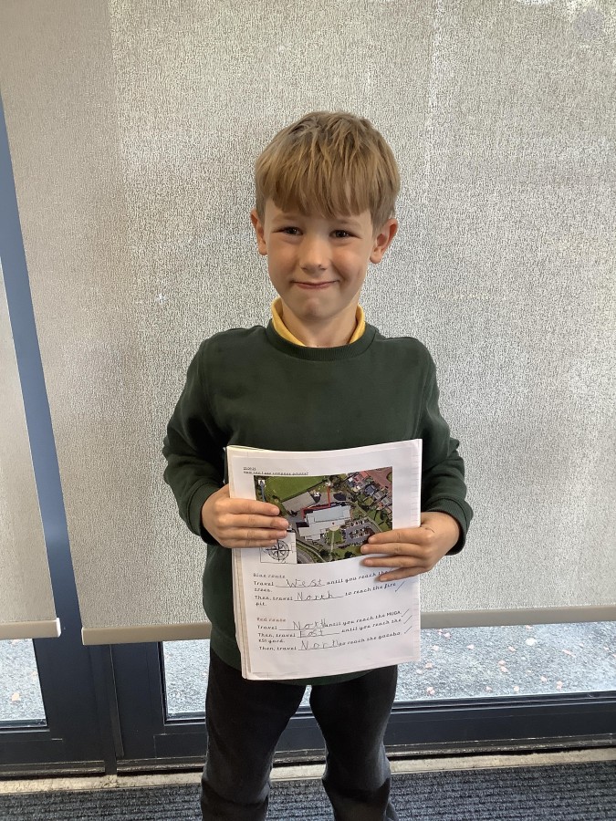
Next, the children had the opportunity to use a real compass. They discovered that the needle on a compass always points north. Therefore, this can be used to help identify the other main compass points. They went onto the yard and used their compasses to follow directions around the school grounds.
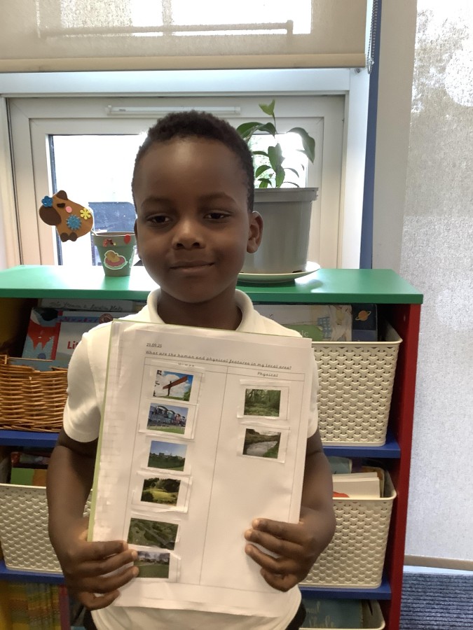
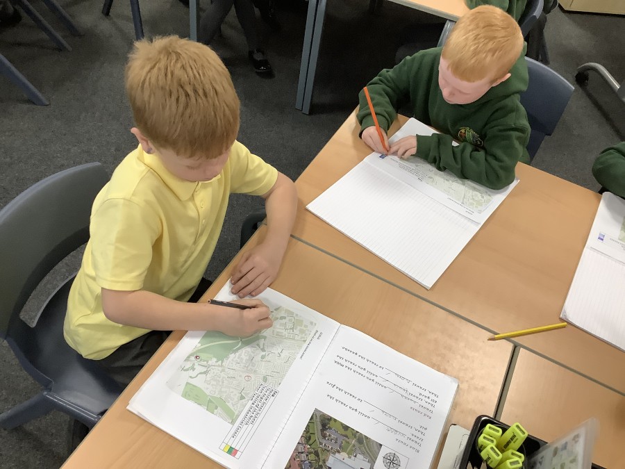
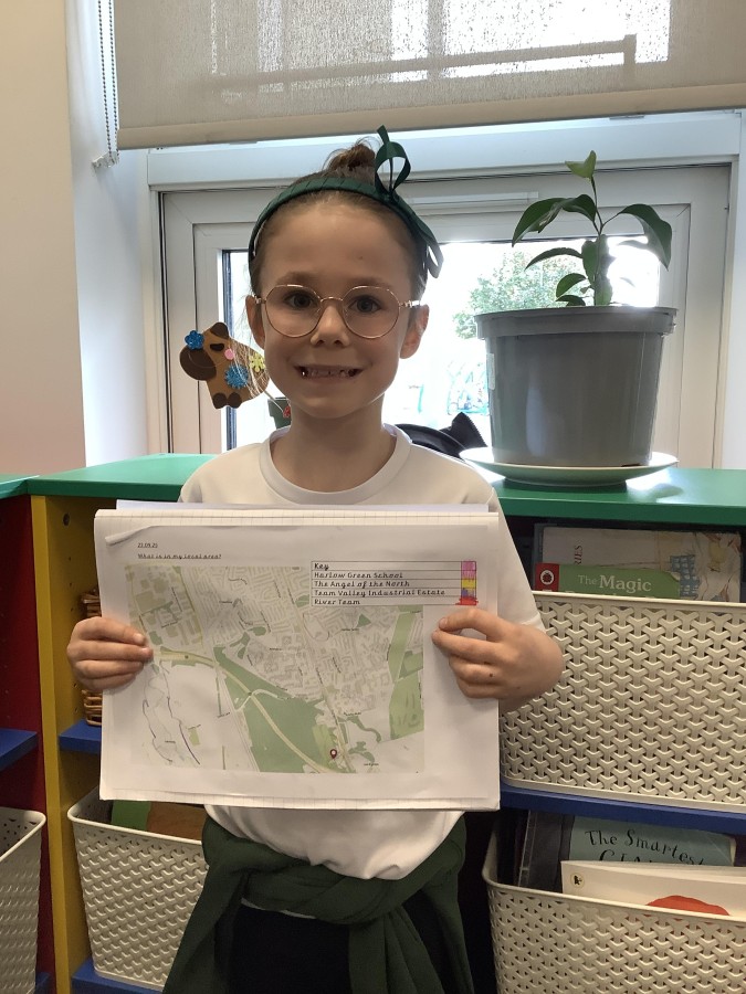
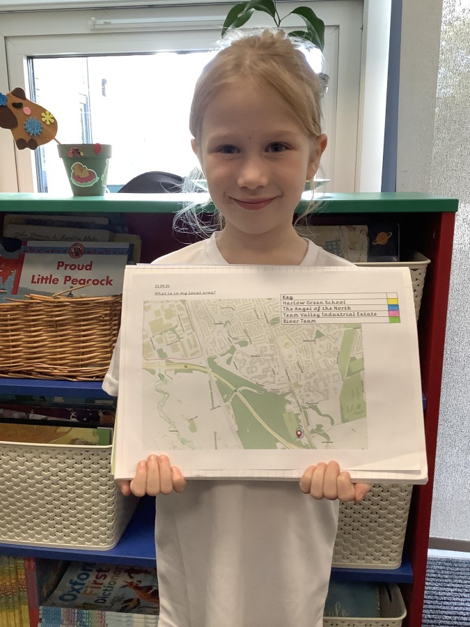
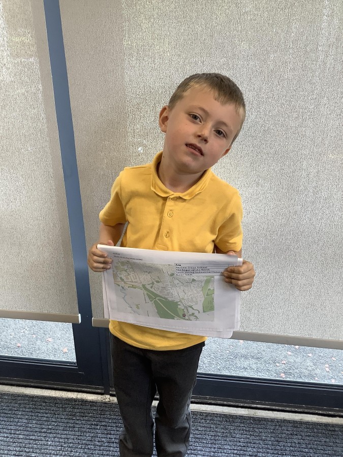
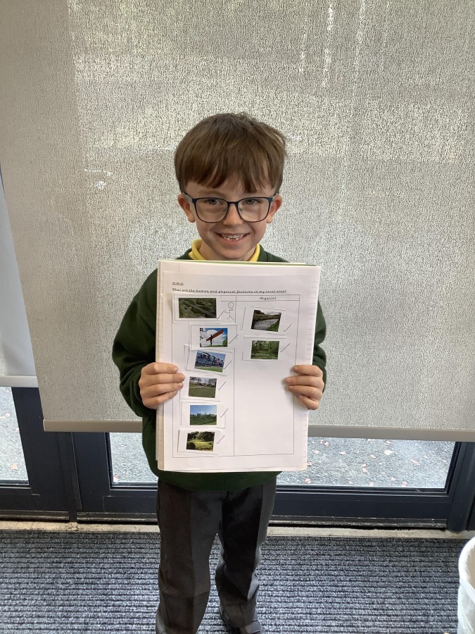
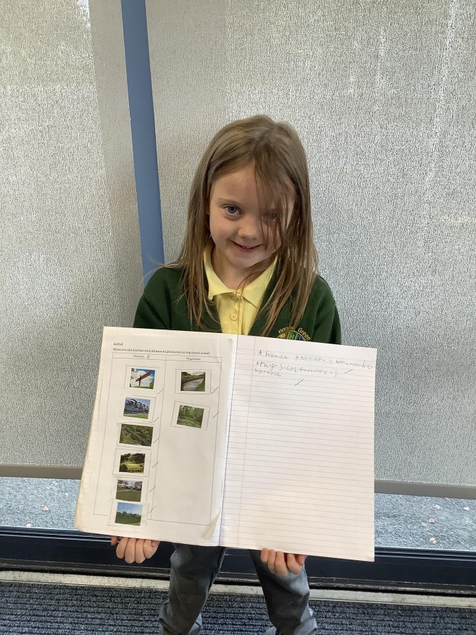
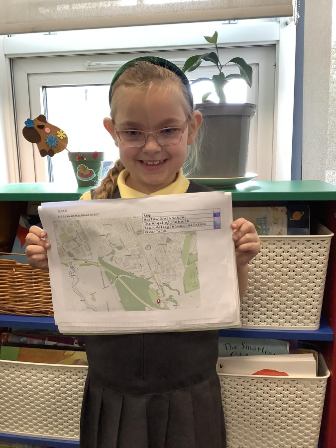
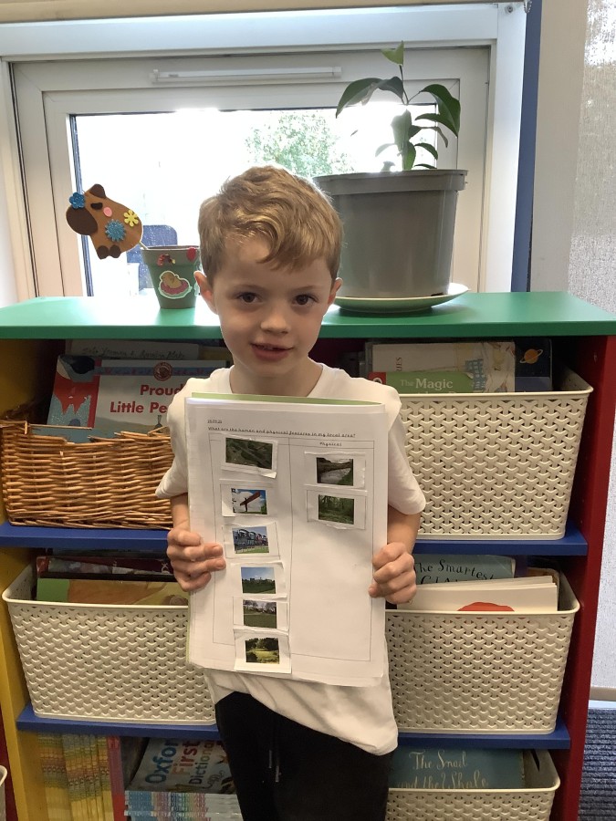
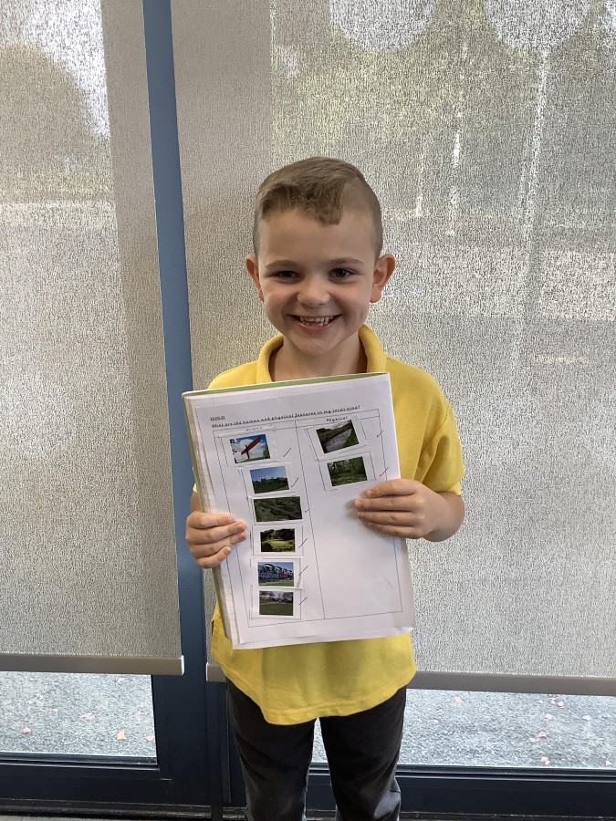
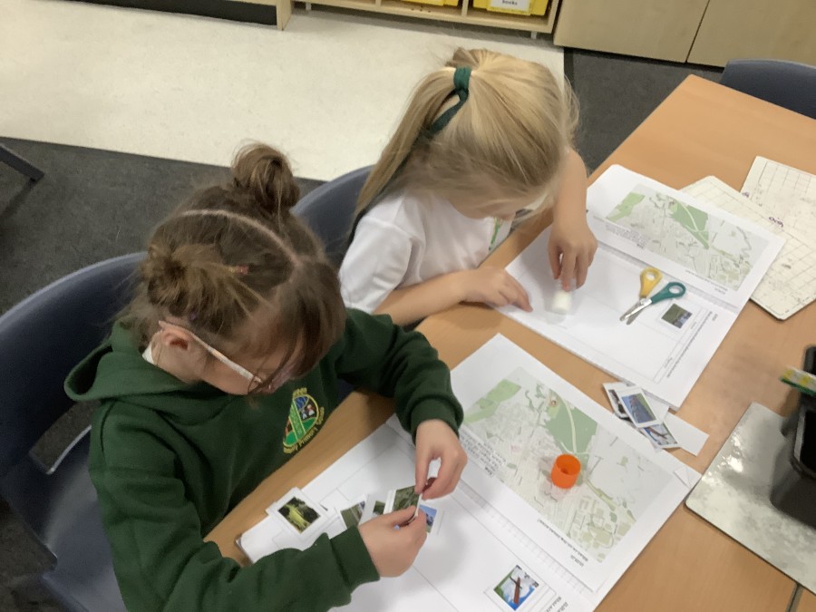
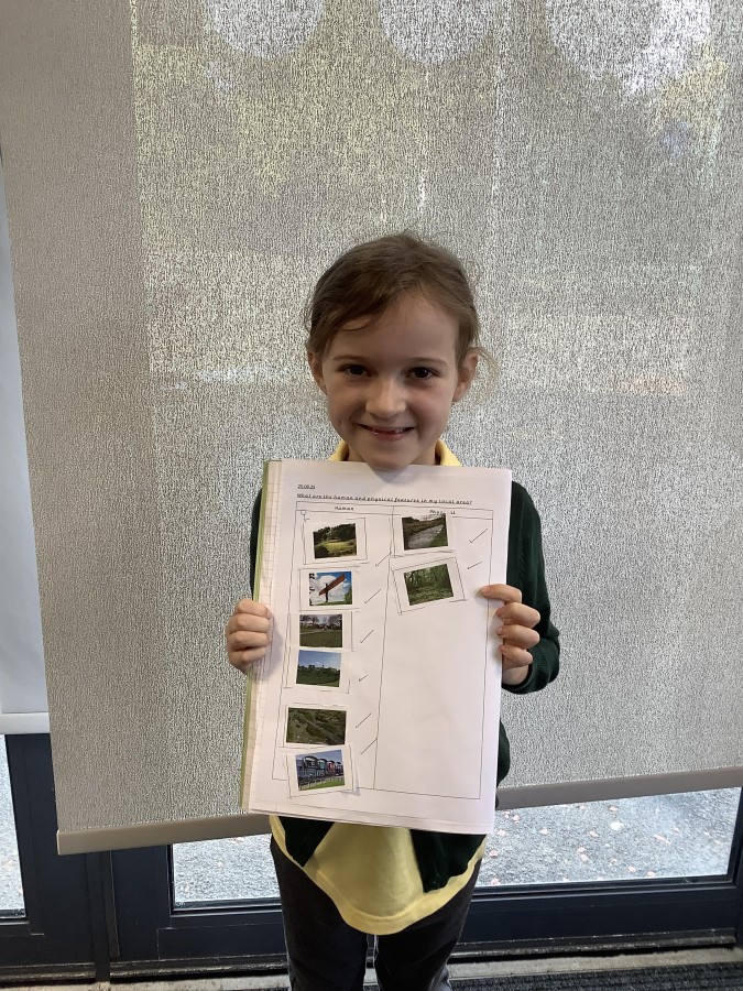
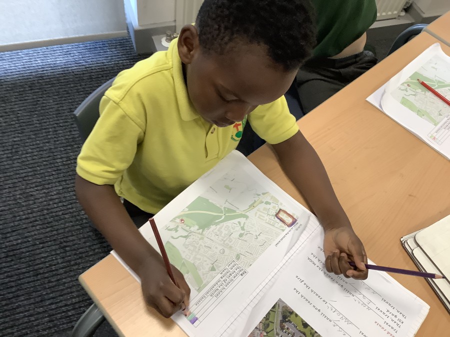
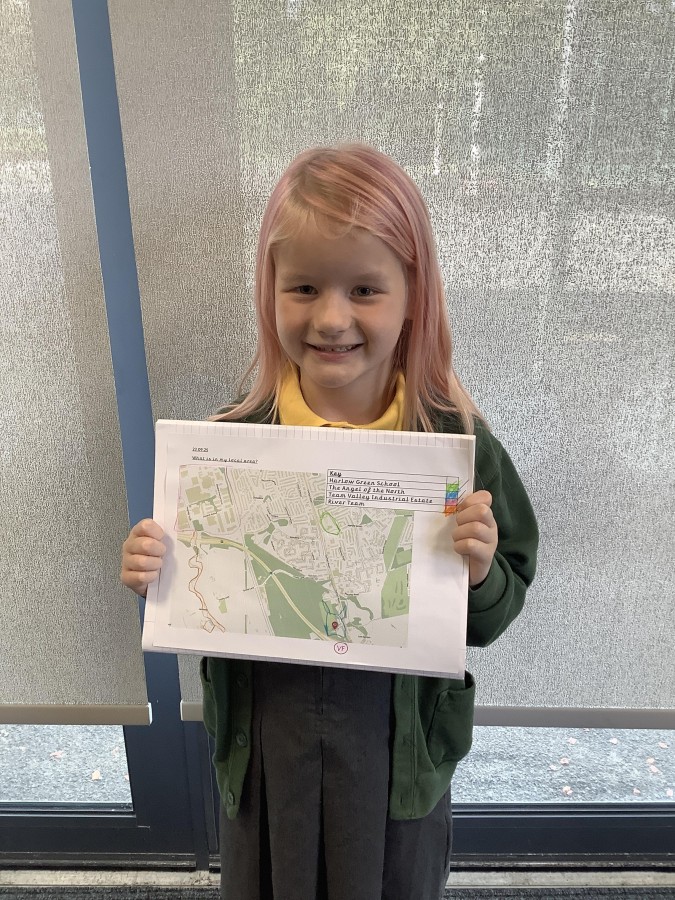
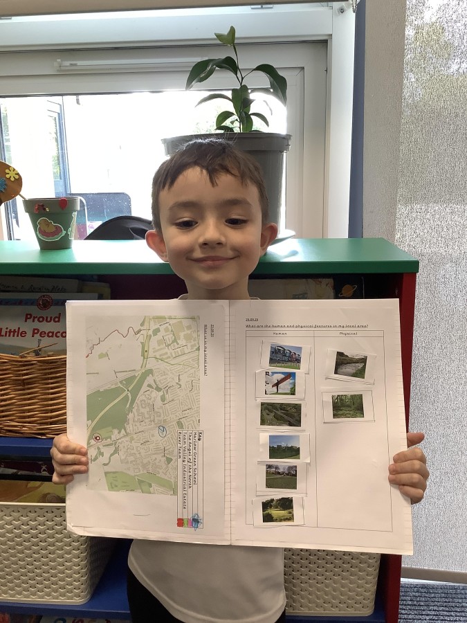
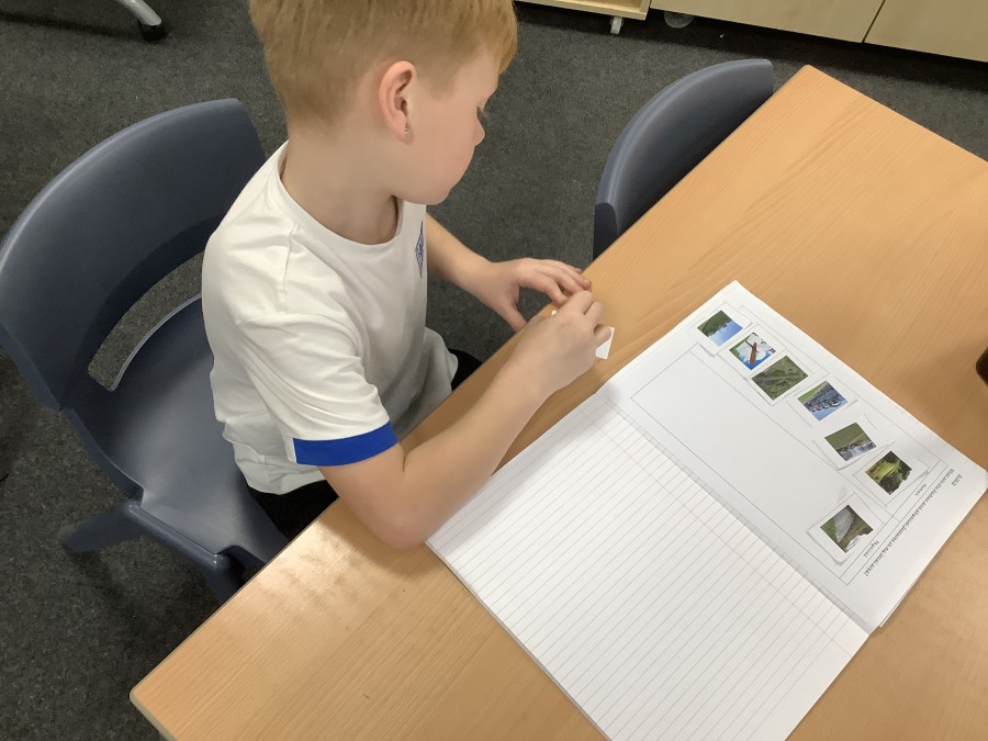
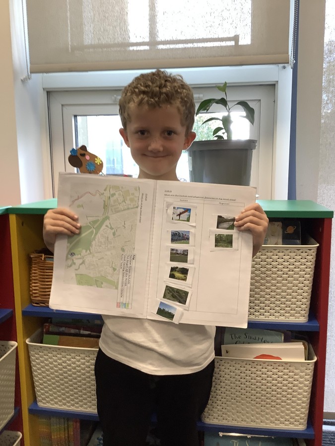
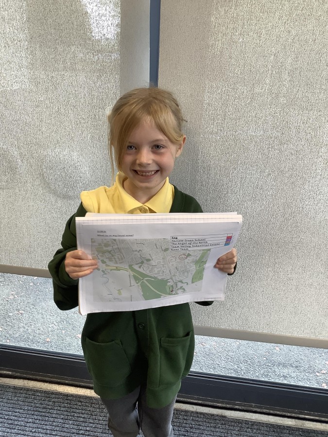
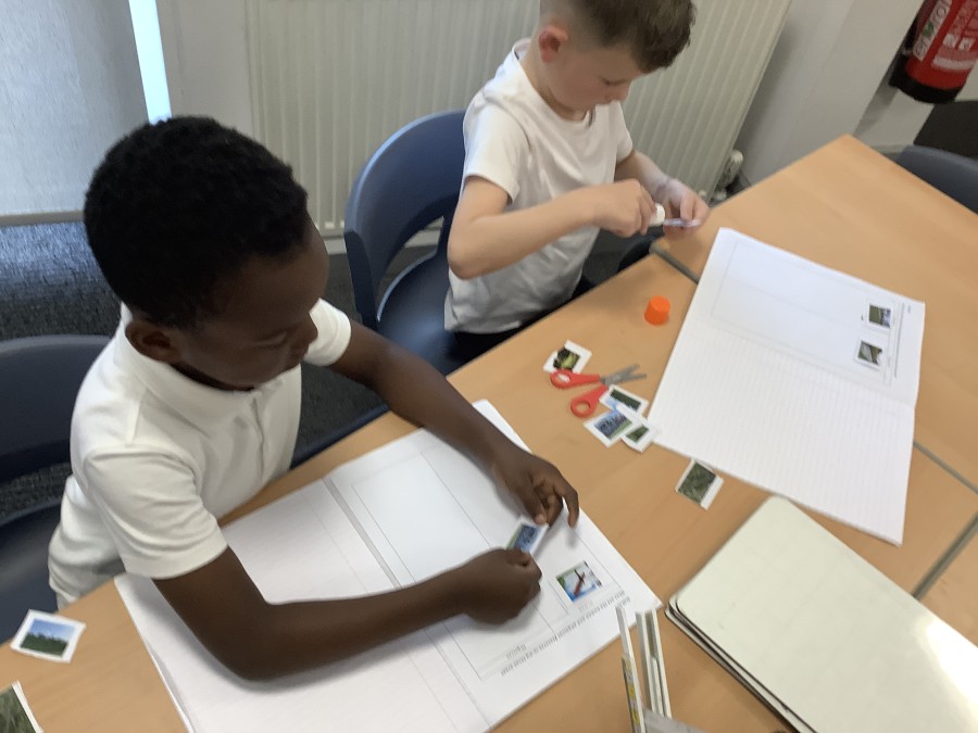
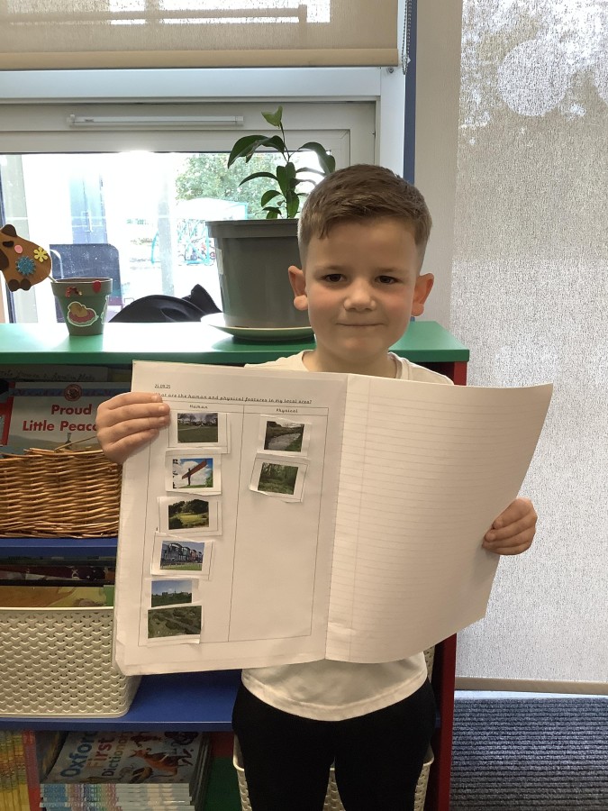
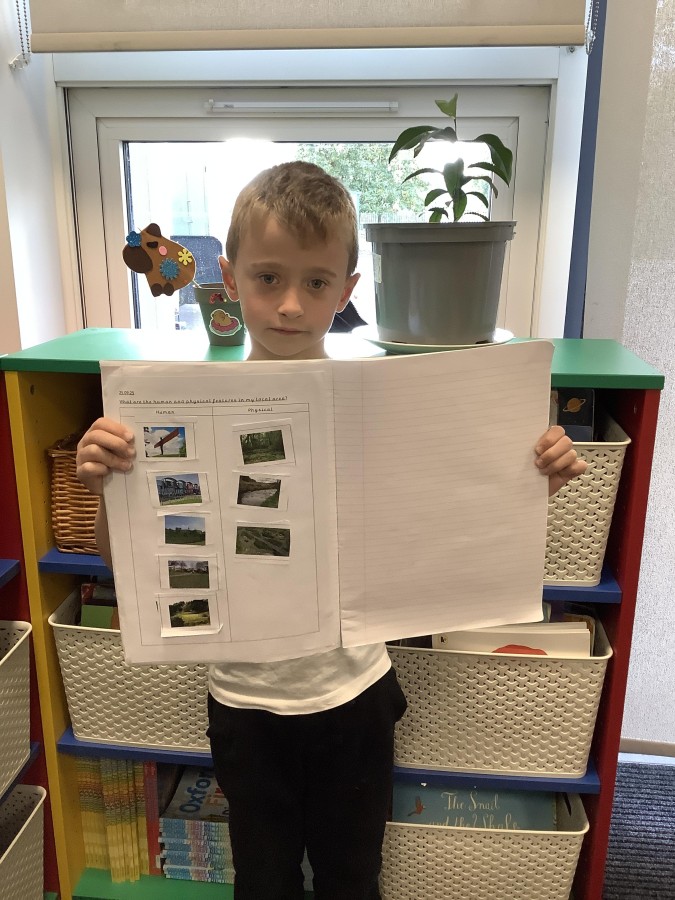
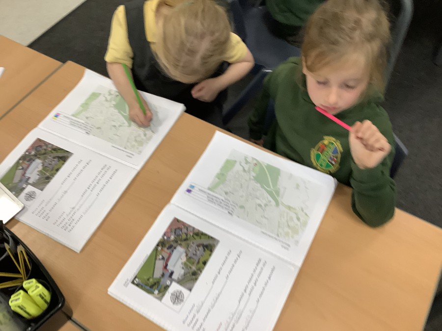
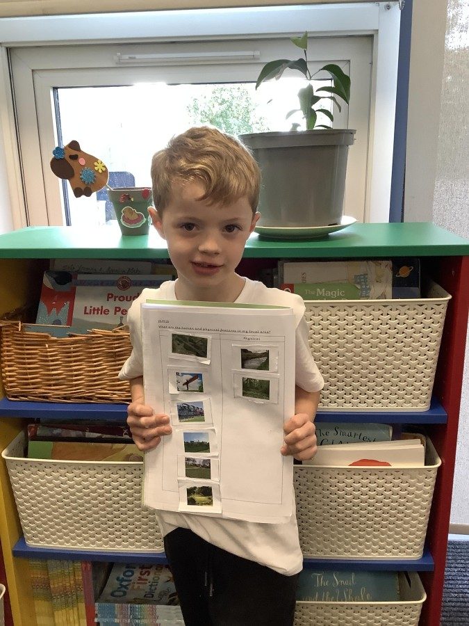
Finally, the boys and girls used a map of our local area to identify some key geographical features such as the River Team and The Angel of the North. They were then able to sort these features into human features (those made by humans) and physical features (features that occur naturally). The children noticed that there were lots of human features in our local area because we live in a town.